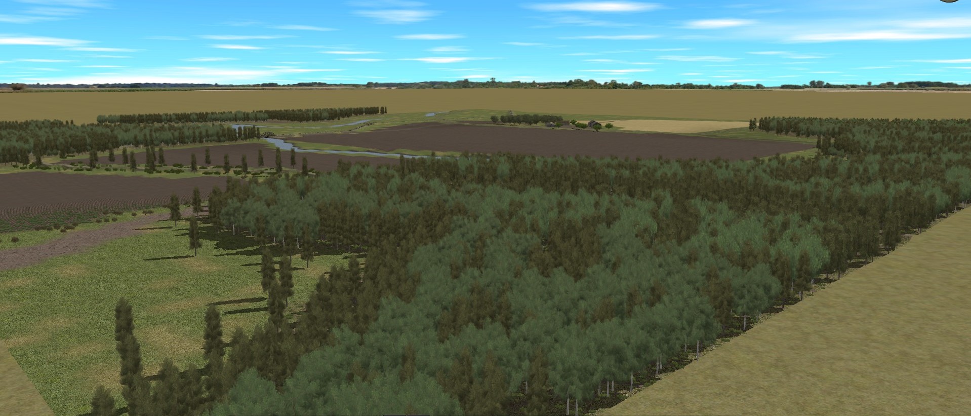
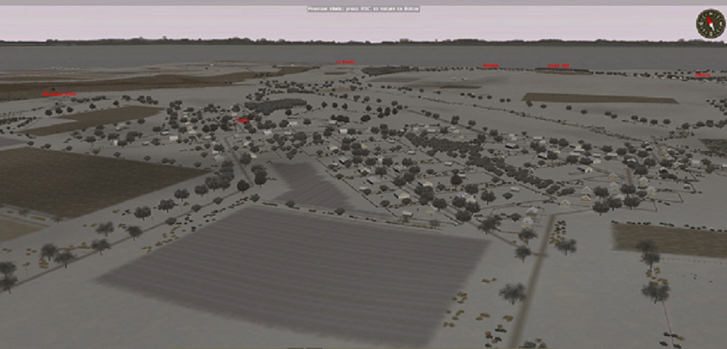
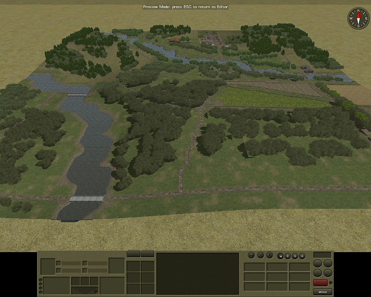
Map Sources: 1938 Red Army map, scale 1:50,000; Google maps and a great deal of imagination
Now a town, back in 1944 a farmstead (according to the Red Army map), this location a few kilometers east of Siauliau, and right south of Pakruojis. It struck me as a like place where it would have made sense to make a stand for the rag tag, improvised commands organised by Army Group North to contain Third Guards Tank Army as it plunged through the Baltic Gap onto the coast at Tukkums in July 1944.
| WHAT VERSION OF COMBAT MISSION IS THE FILE FOR? | CM : RED THUNDER |
| WHAT IS THE SCENARIO / MAP TITLE? | Karasilis, Lithuania |
| FILE TYPE? | MAP ONLY |
| DOES THE SCENARIO / MAP REQUIRE BATTLEFRONT DLC OR MODS? | NO |

