P
PoorOldSpike
Guest
3D recce list (I'll edit new ones in as they're completed)
AA2 CHERNARUS MAP
Devil's Castle
Guba Inlet
Pobeda Dam
Kamenka Bridges
Electricity Relay Station
Vybor Plain
Green Mountain Radio Tower
The Factory
Veresnik Hill
AA2 UTES MAP
Coastwatch Station
Strelka Beach
The Boathouse
The Compound
The Cove
USS Khe Sanh
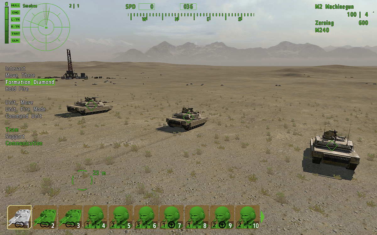
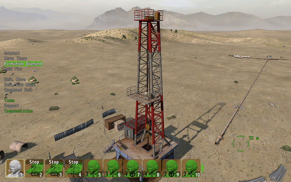
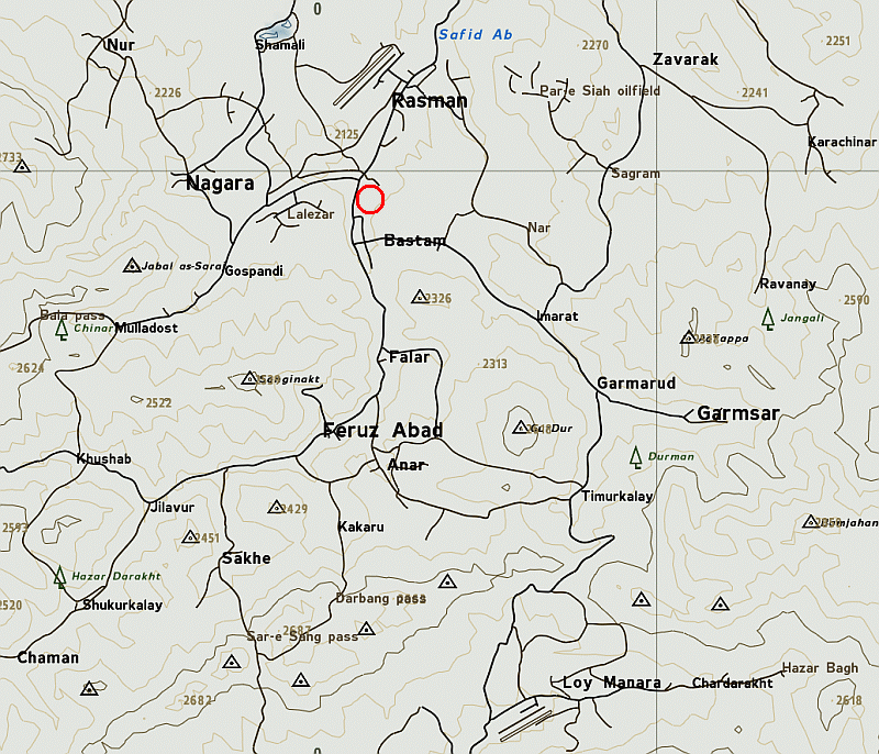
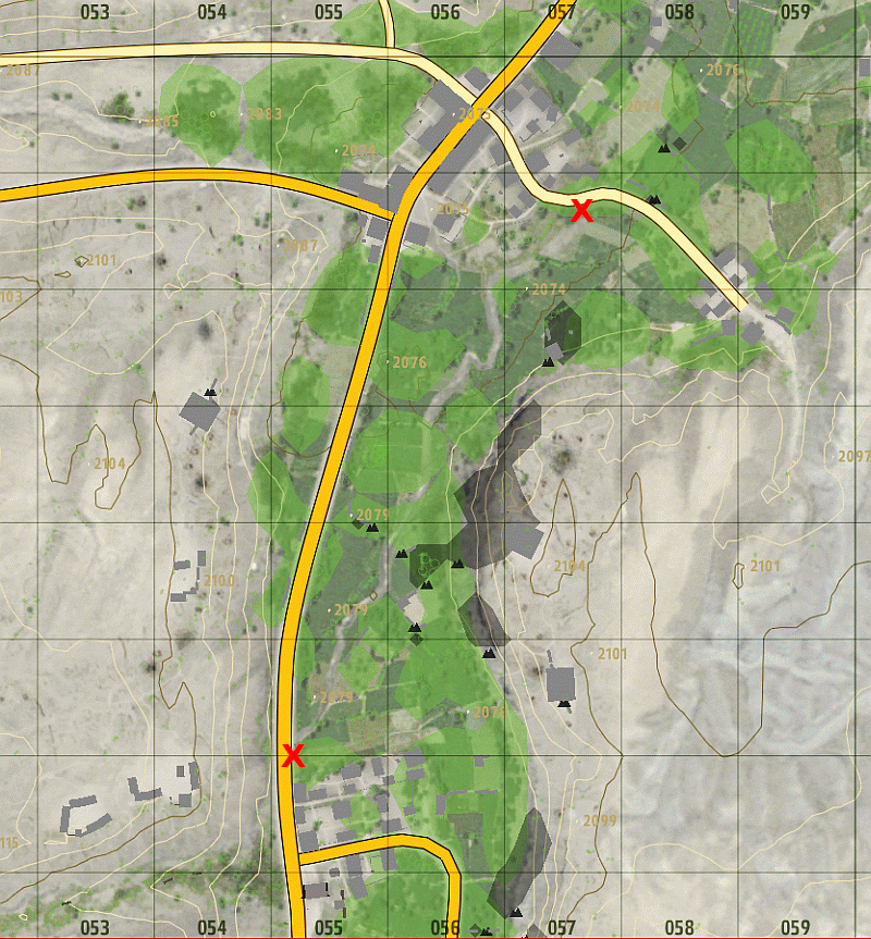
Arrowhead TAKISTAN MAP
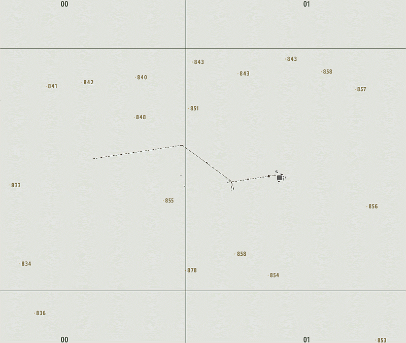
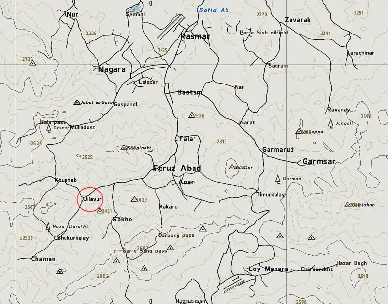
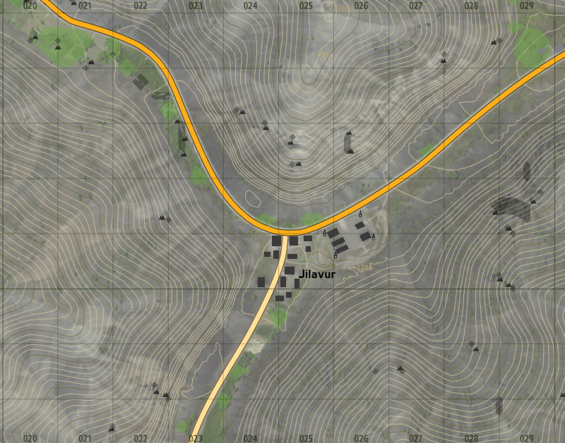
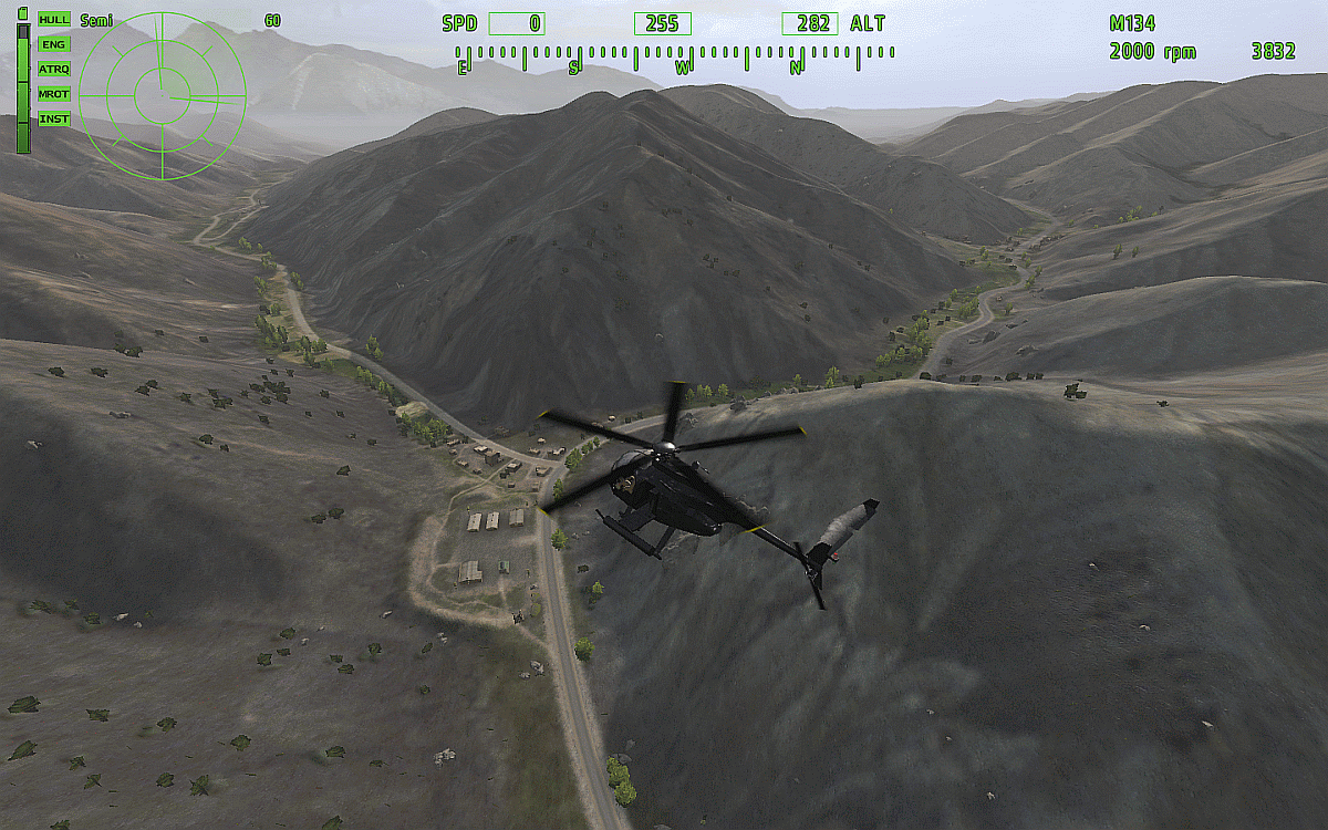
Jilavur Choke Point
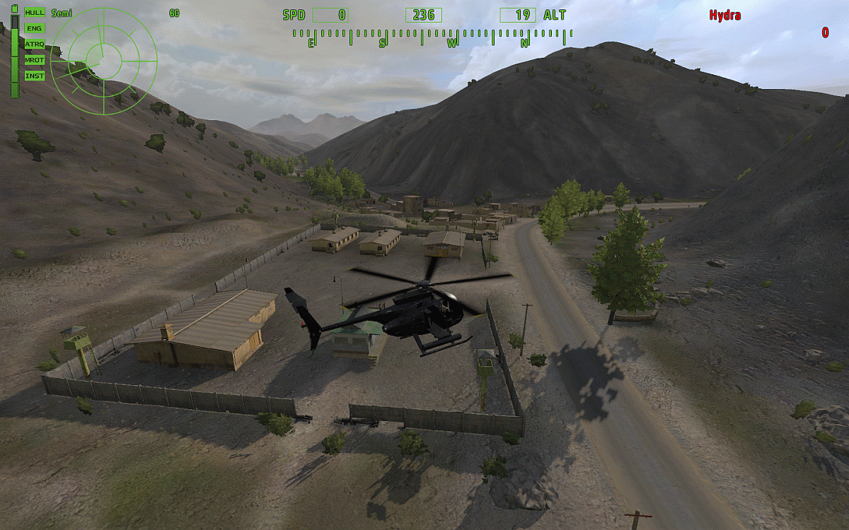
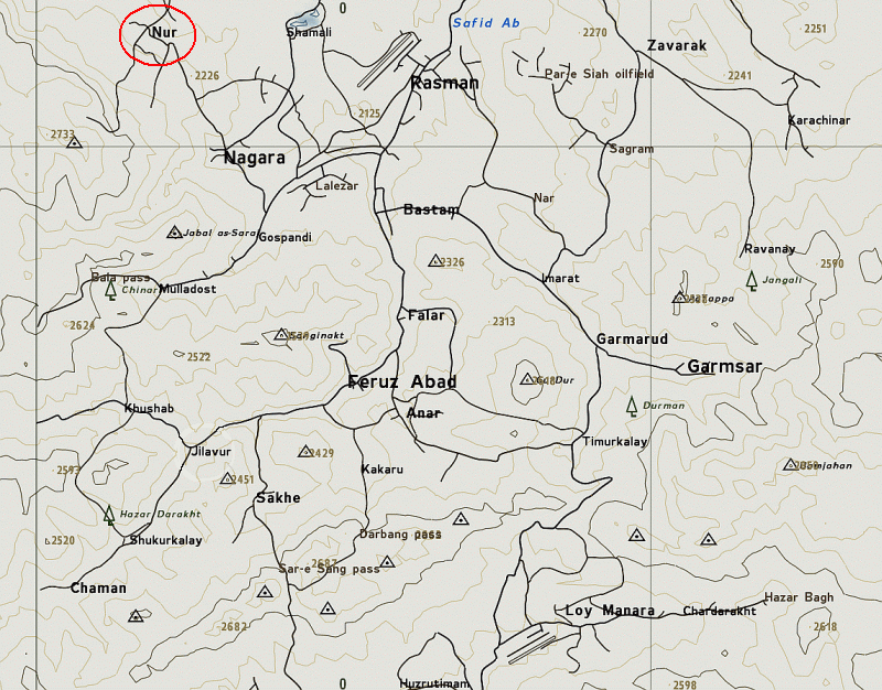
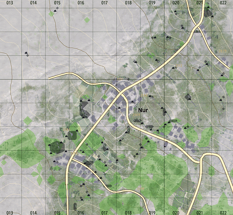
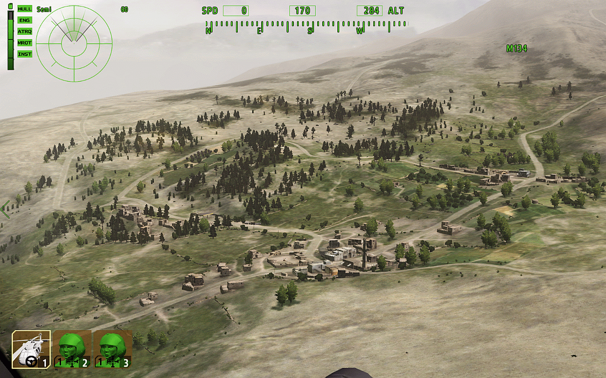
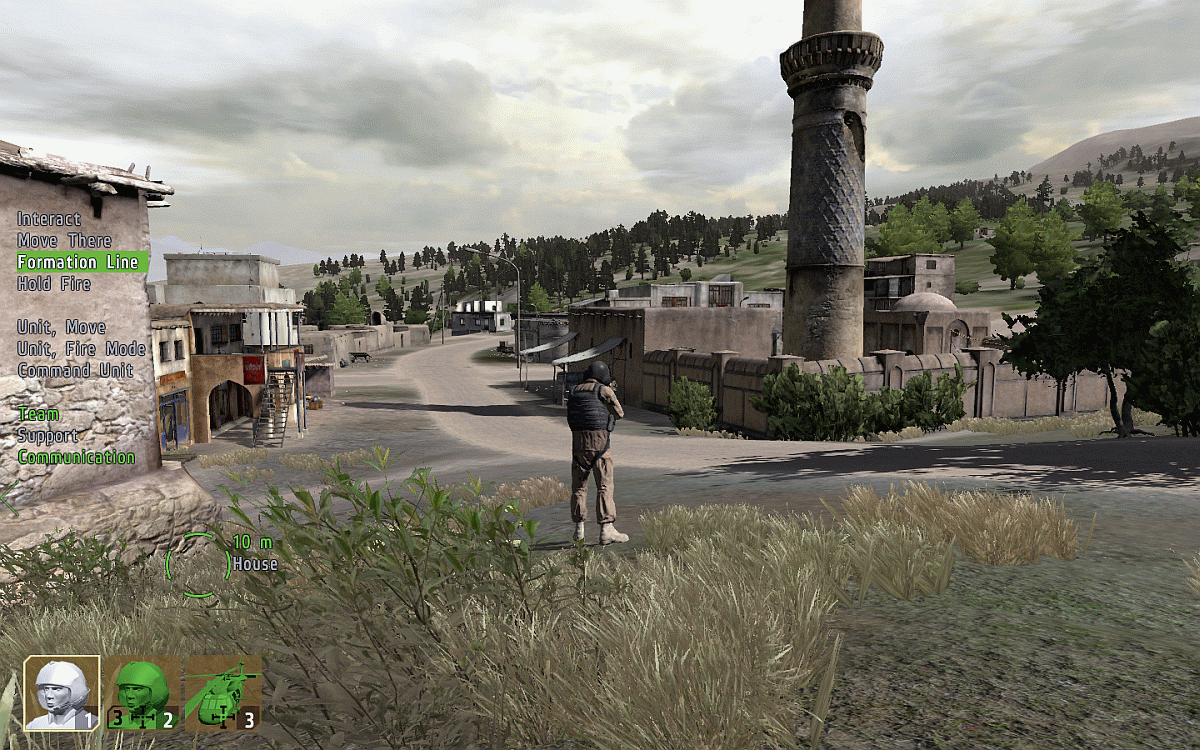
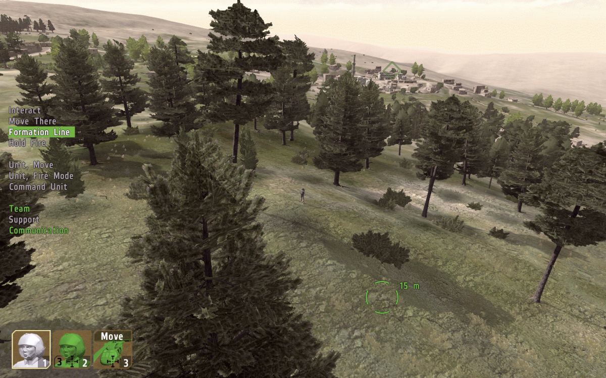
Nur Town
The Eagles Nest
Purple Heart Trail
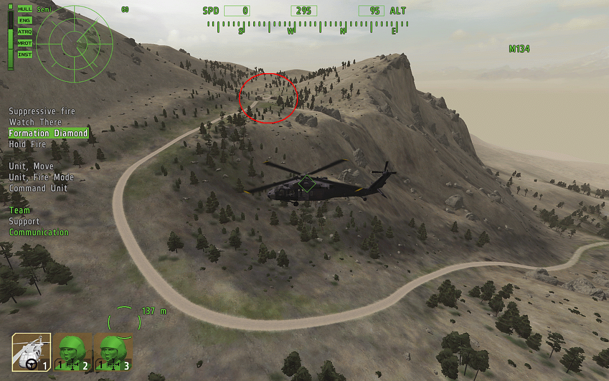
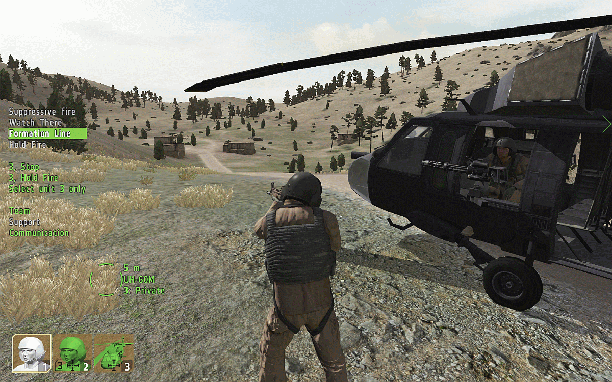
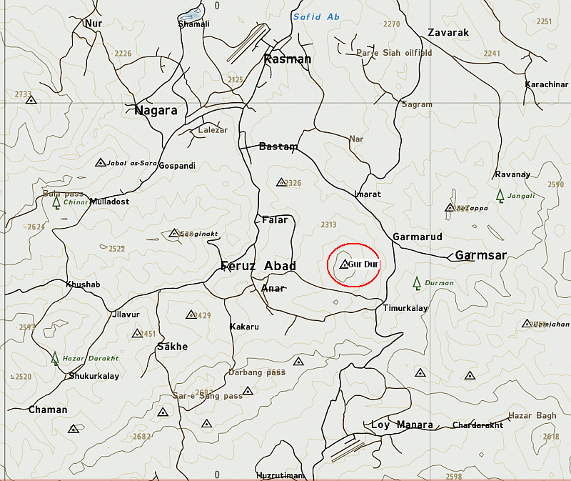
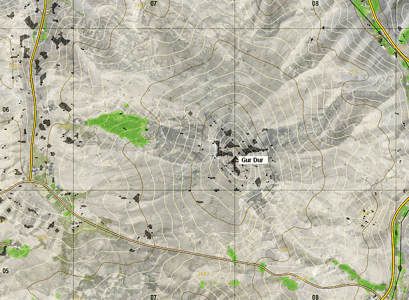
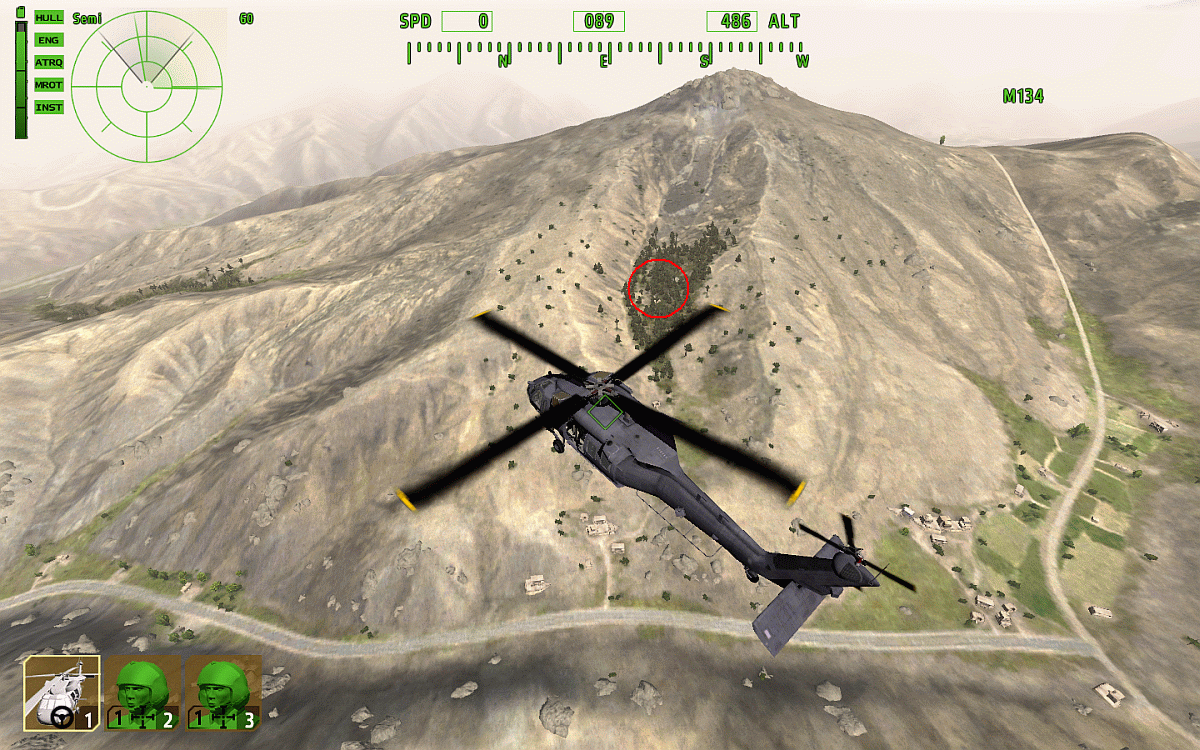
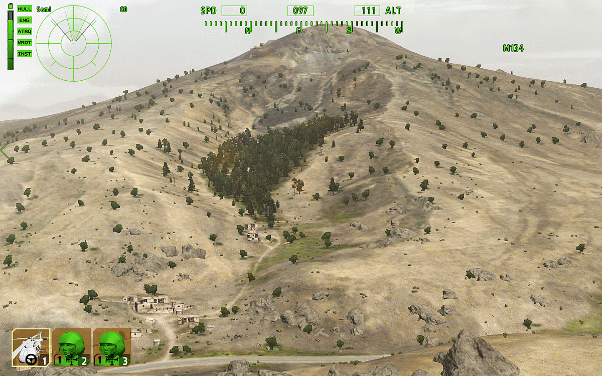
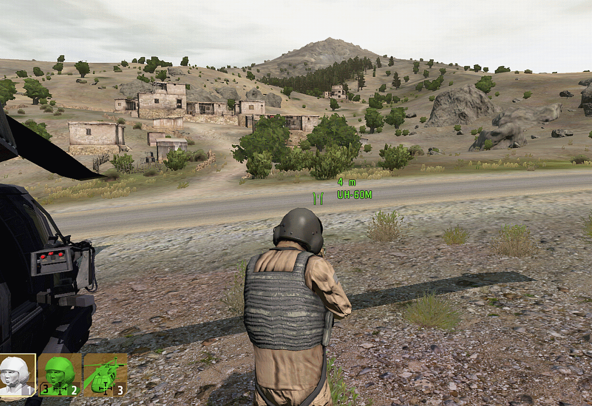
Gur Dur Mountain
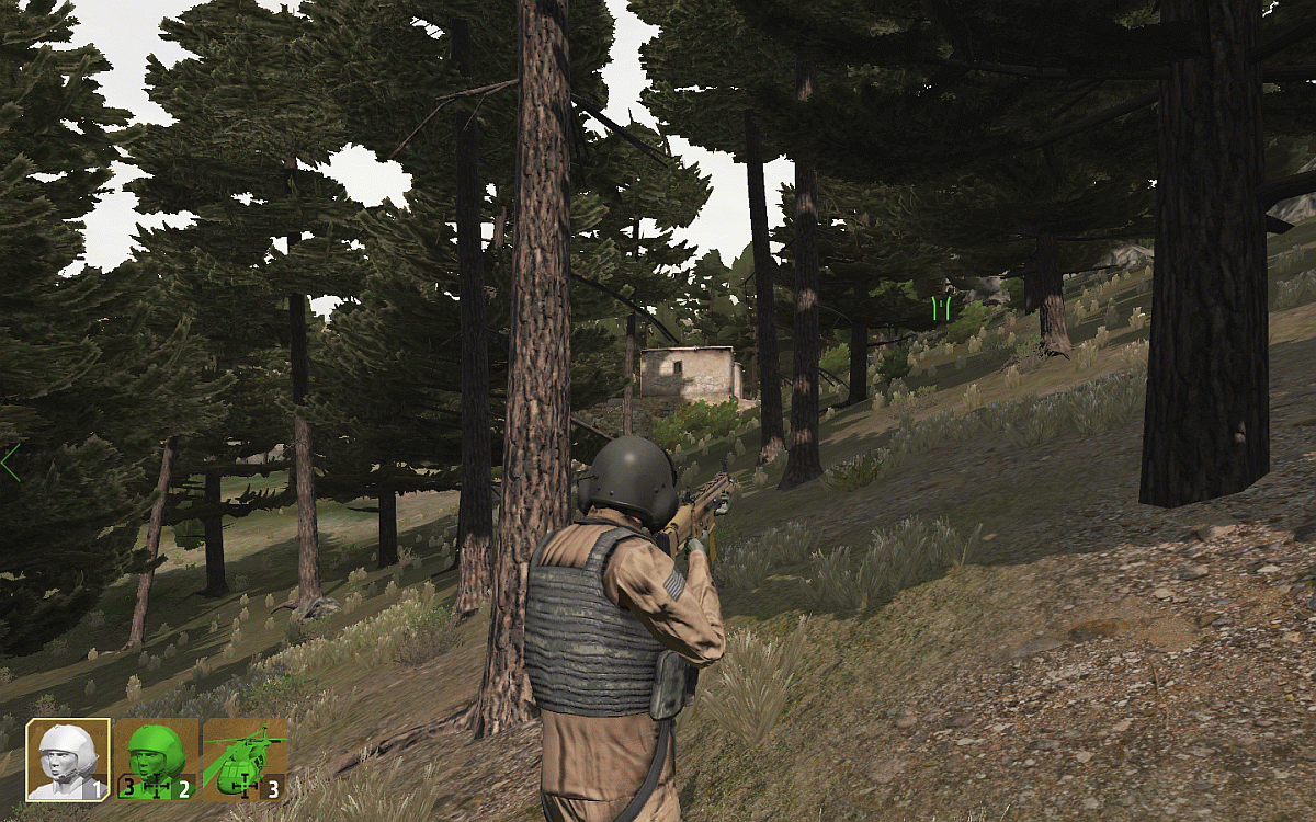
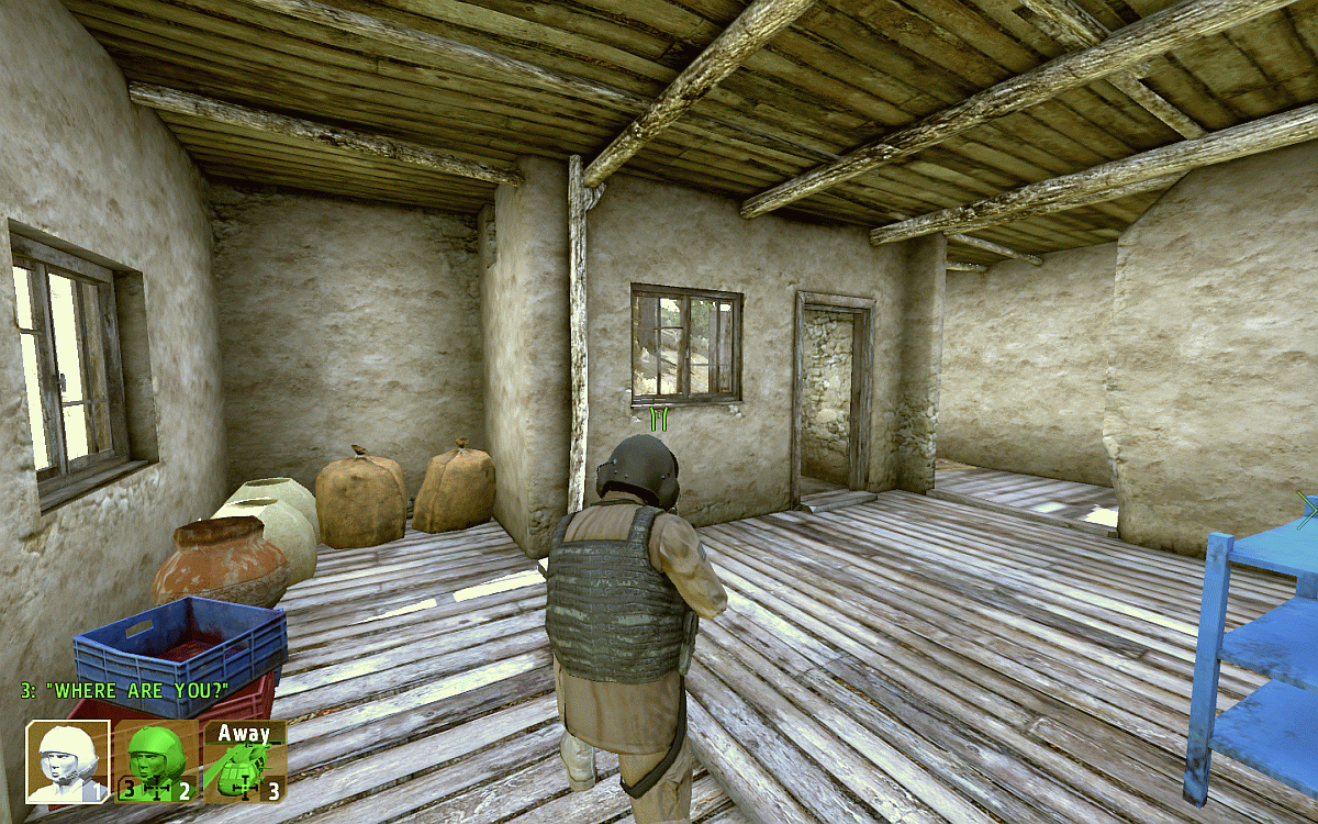
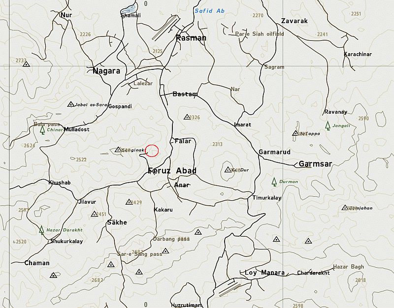
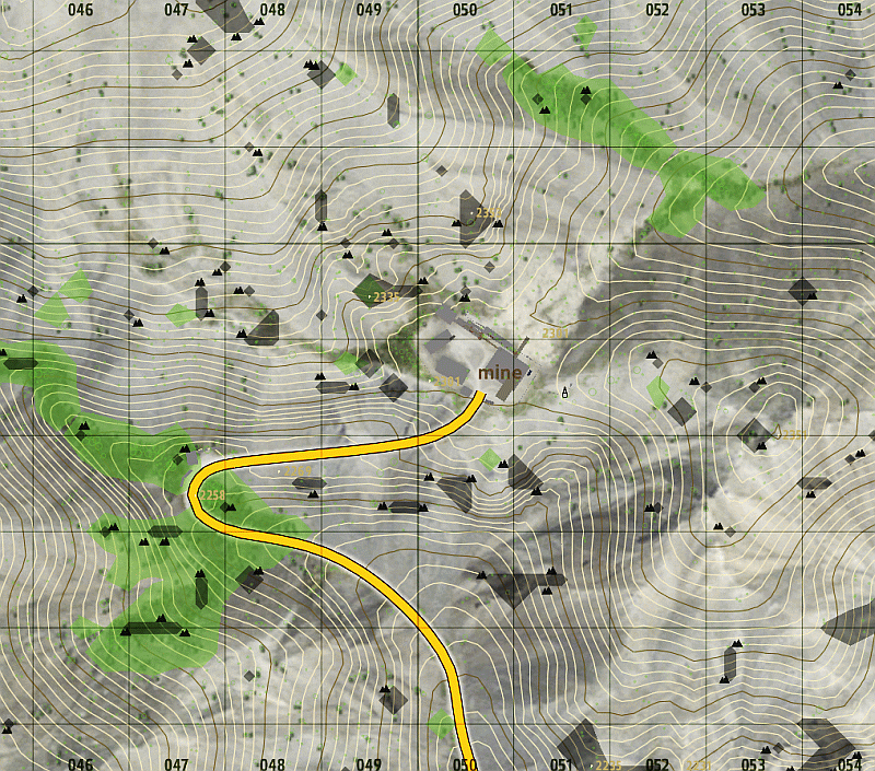
The Mine
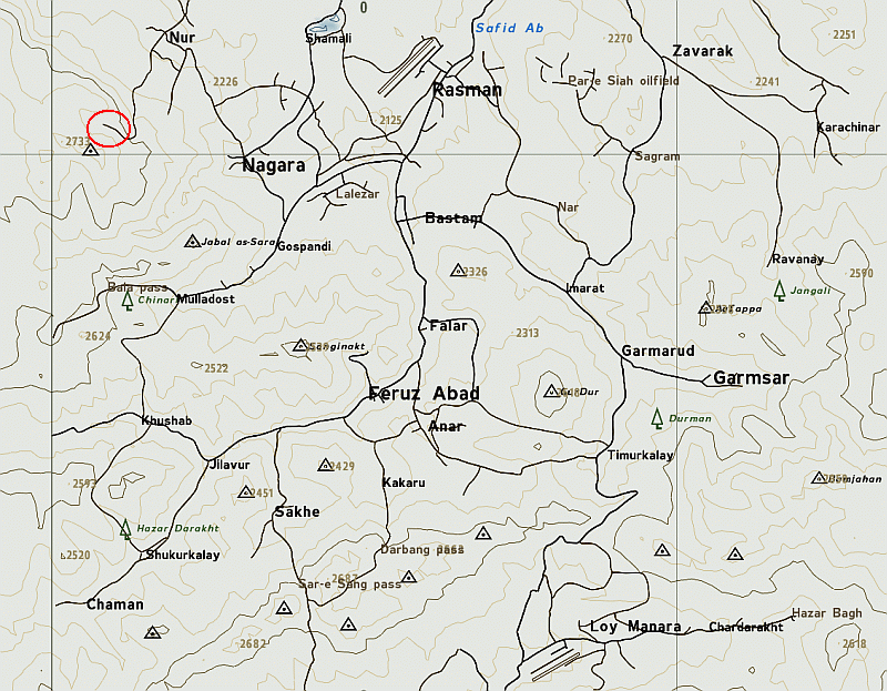
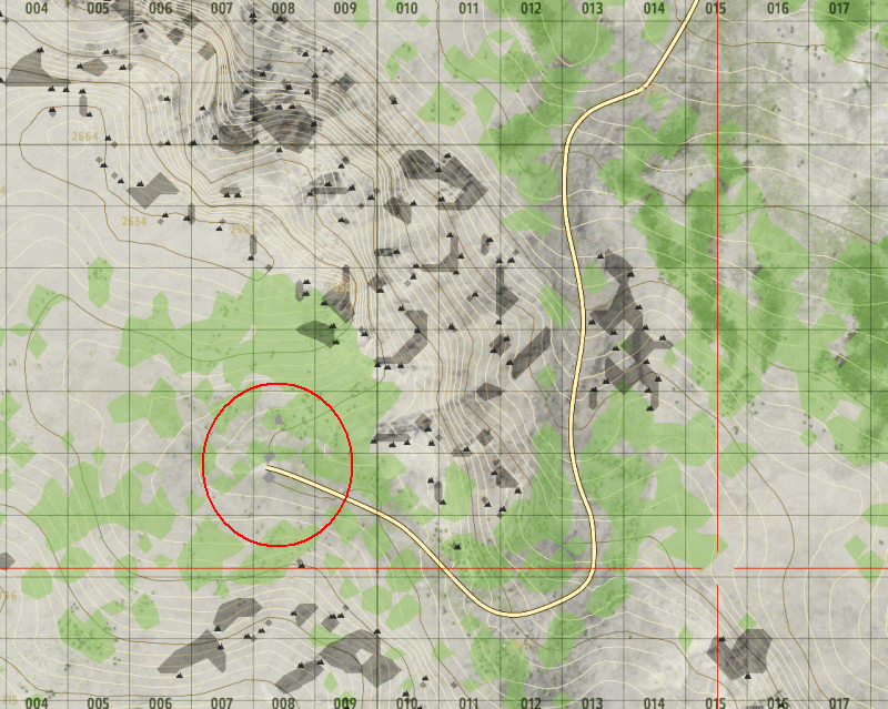
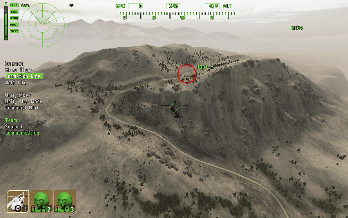
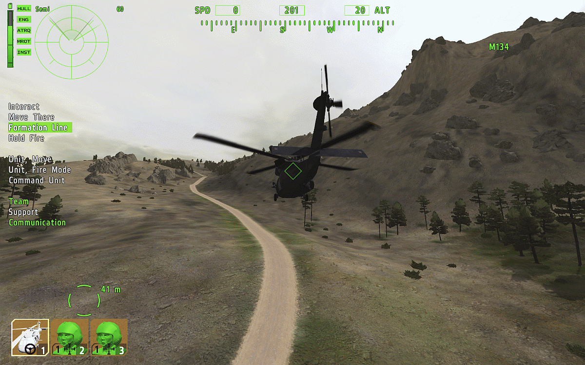
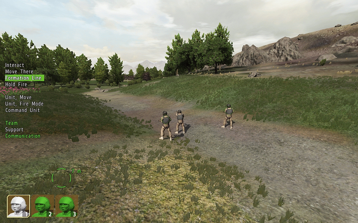
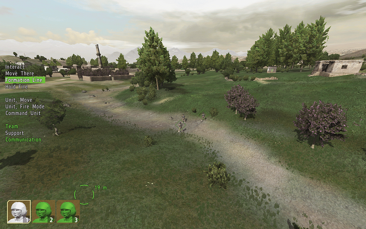
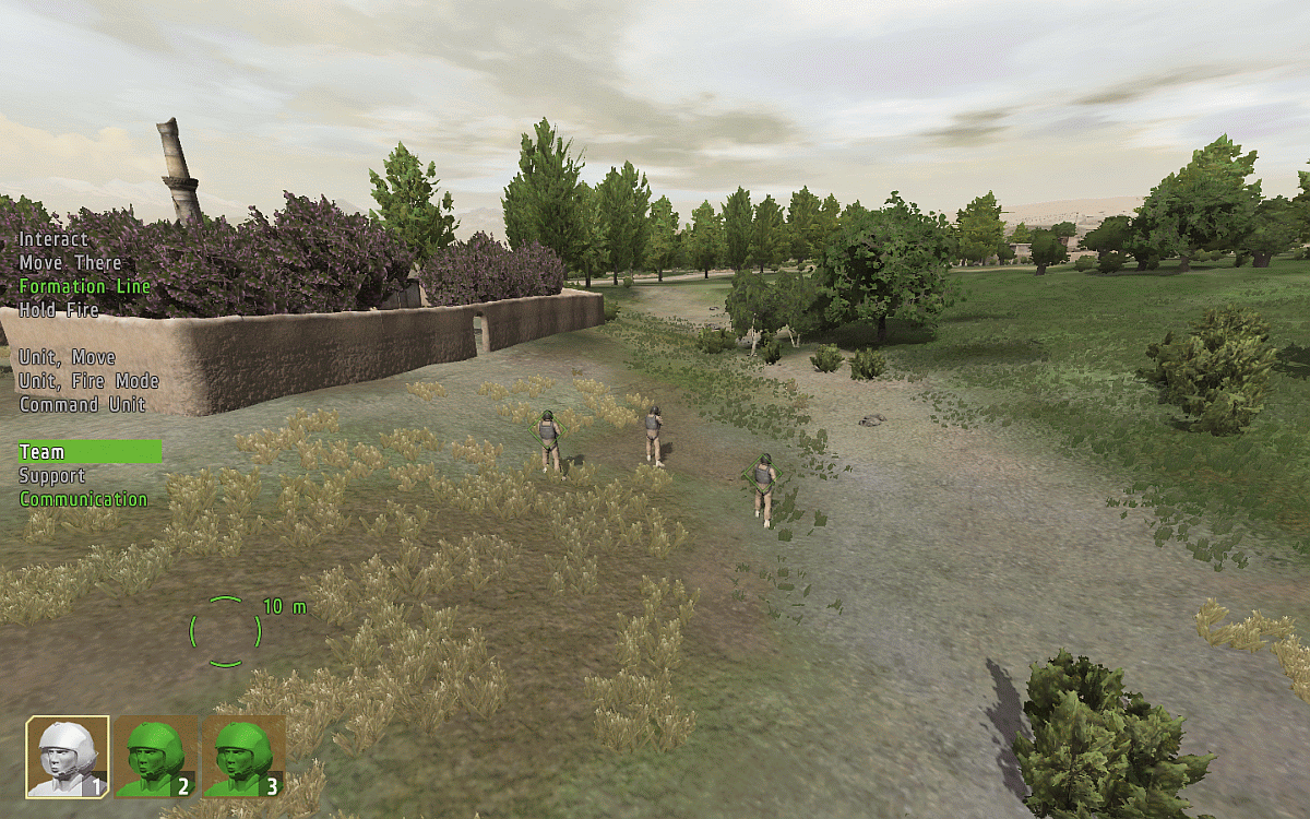
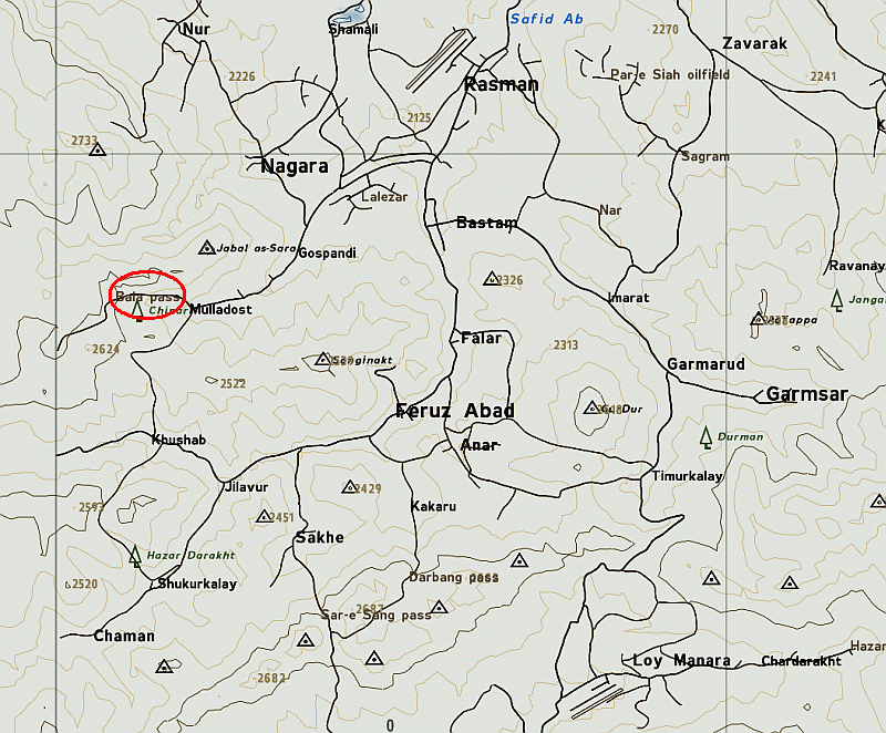
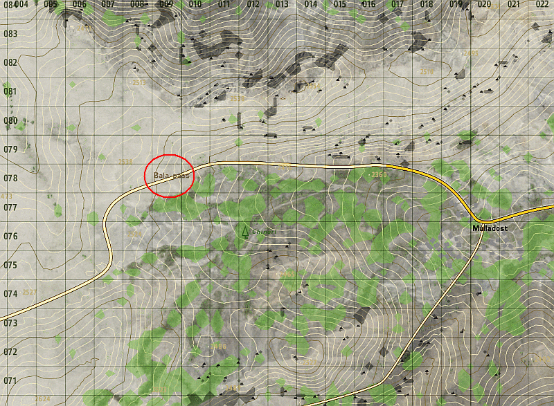
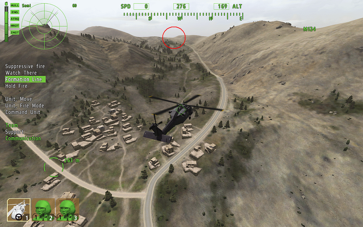
Bala Pass
Badville
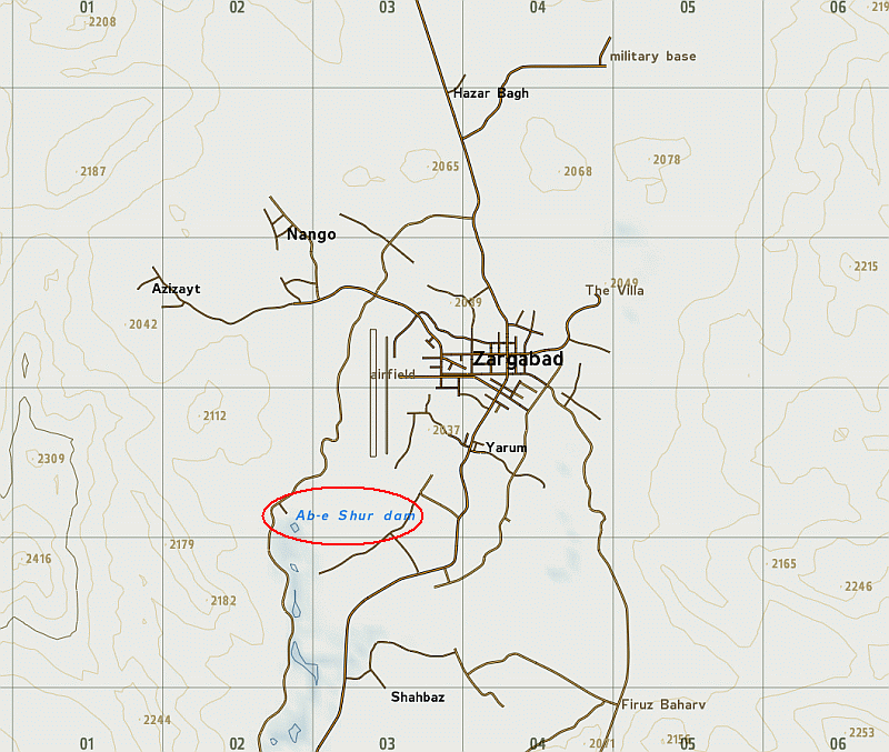
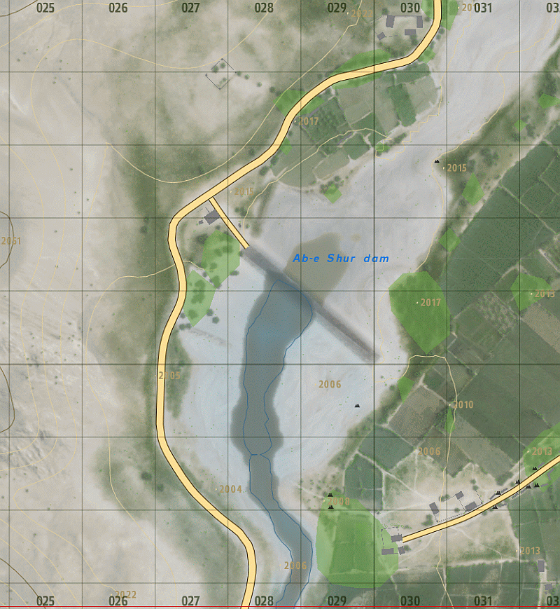
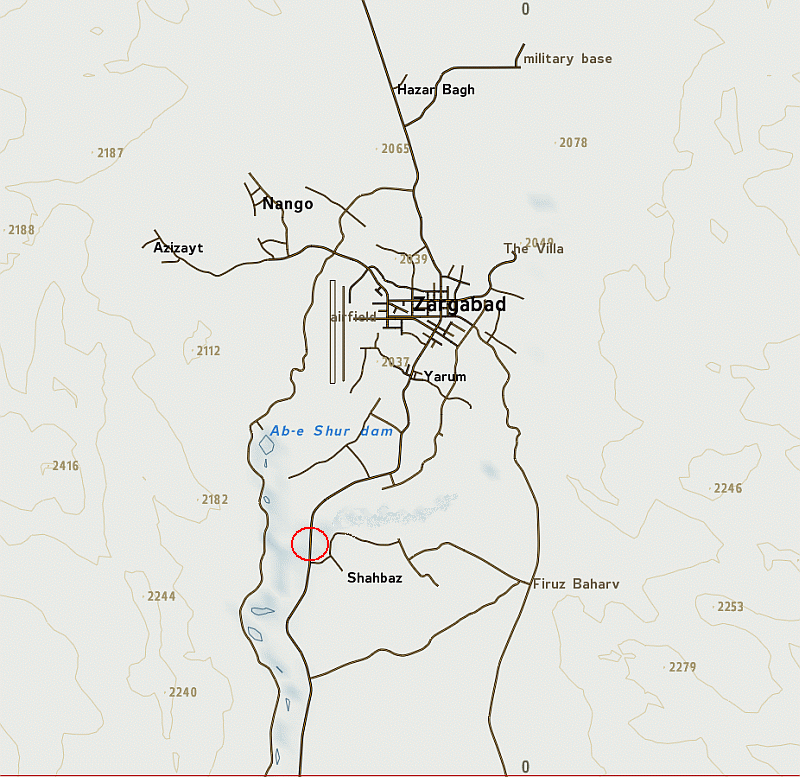
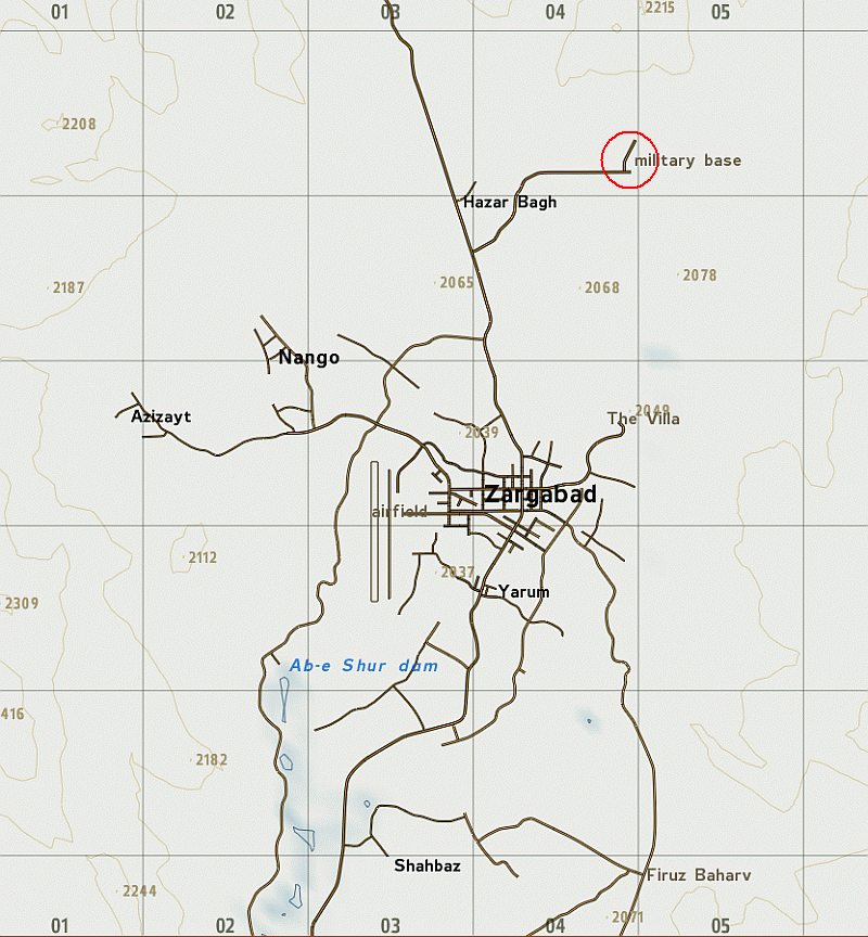
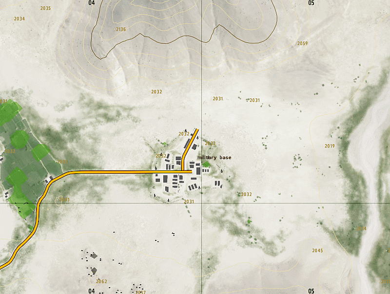
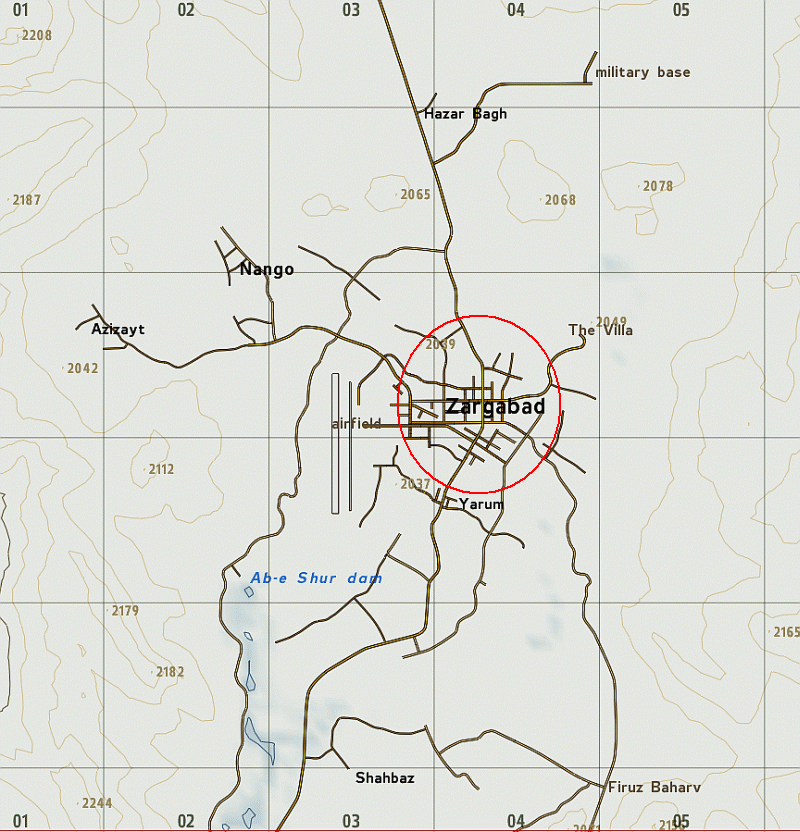
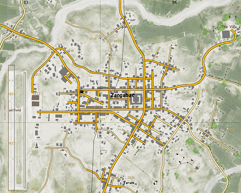
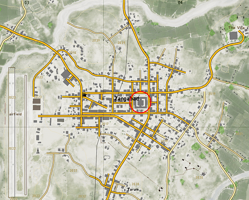
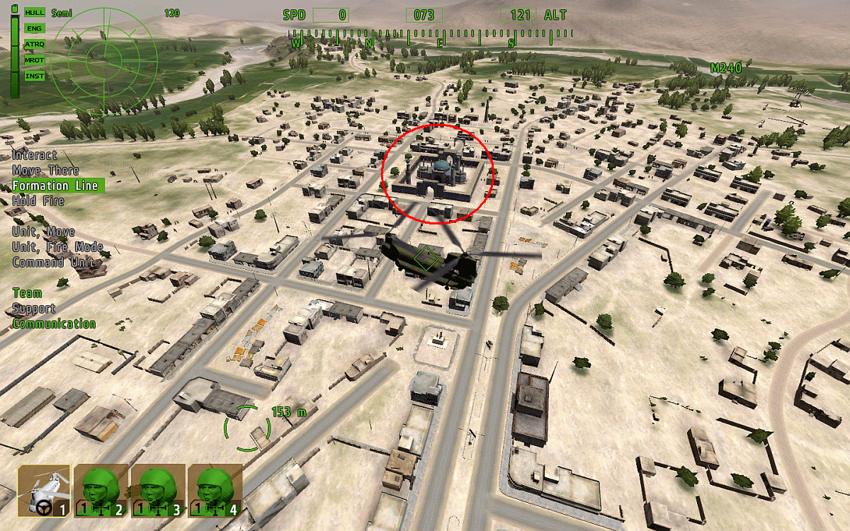
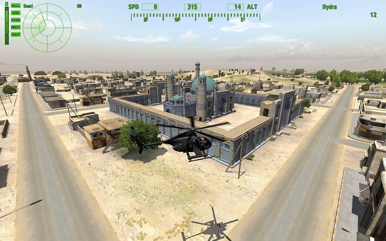
Arrowhead ZARGABAD MAP
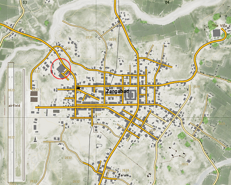
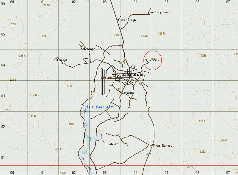
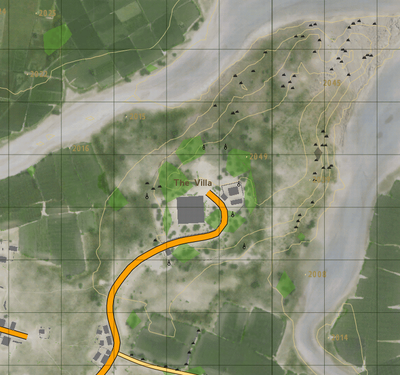
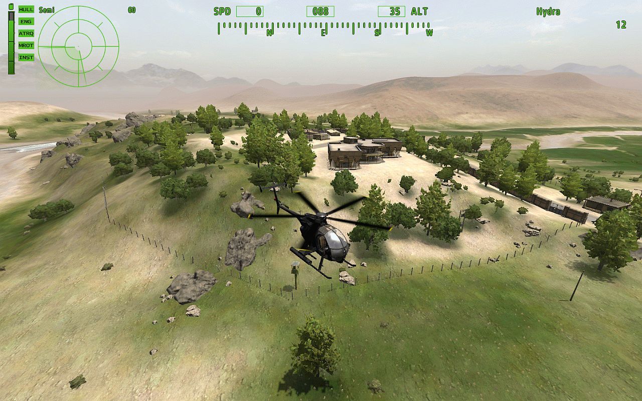
The Villa
Ab-e Shur Dam
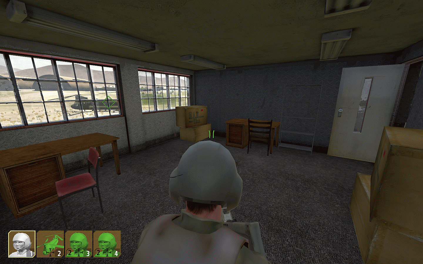
The Military Base
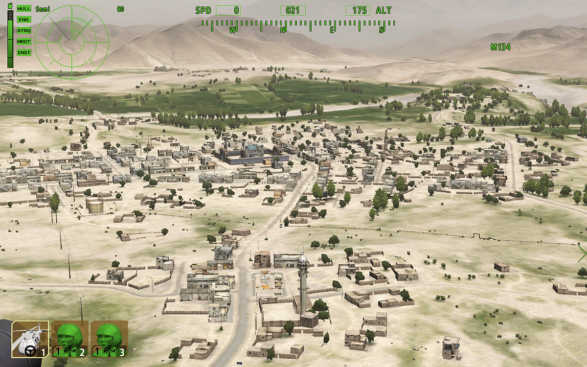
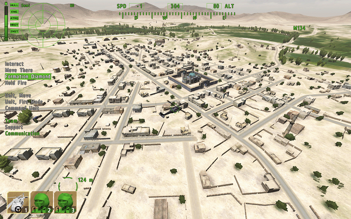
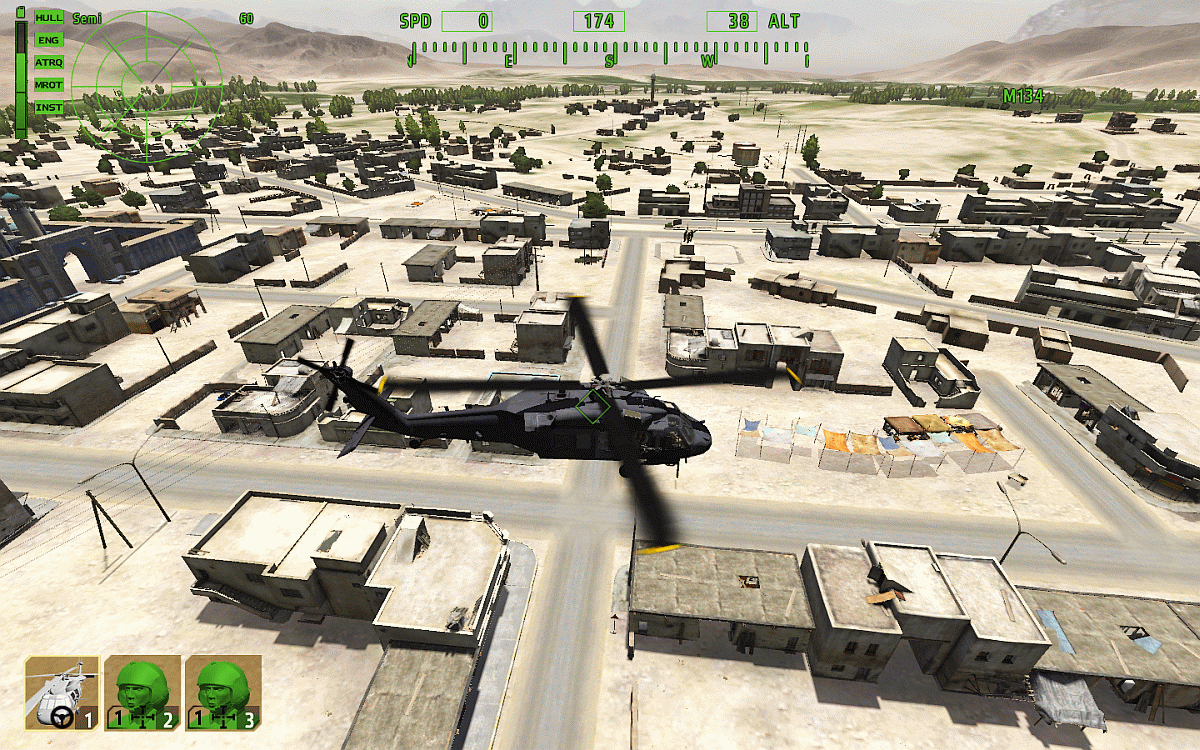
Zargabad City
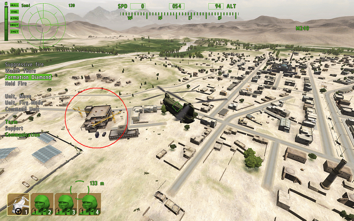
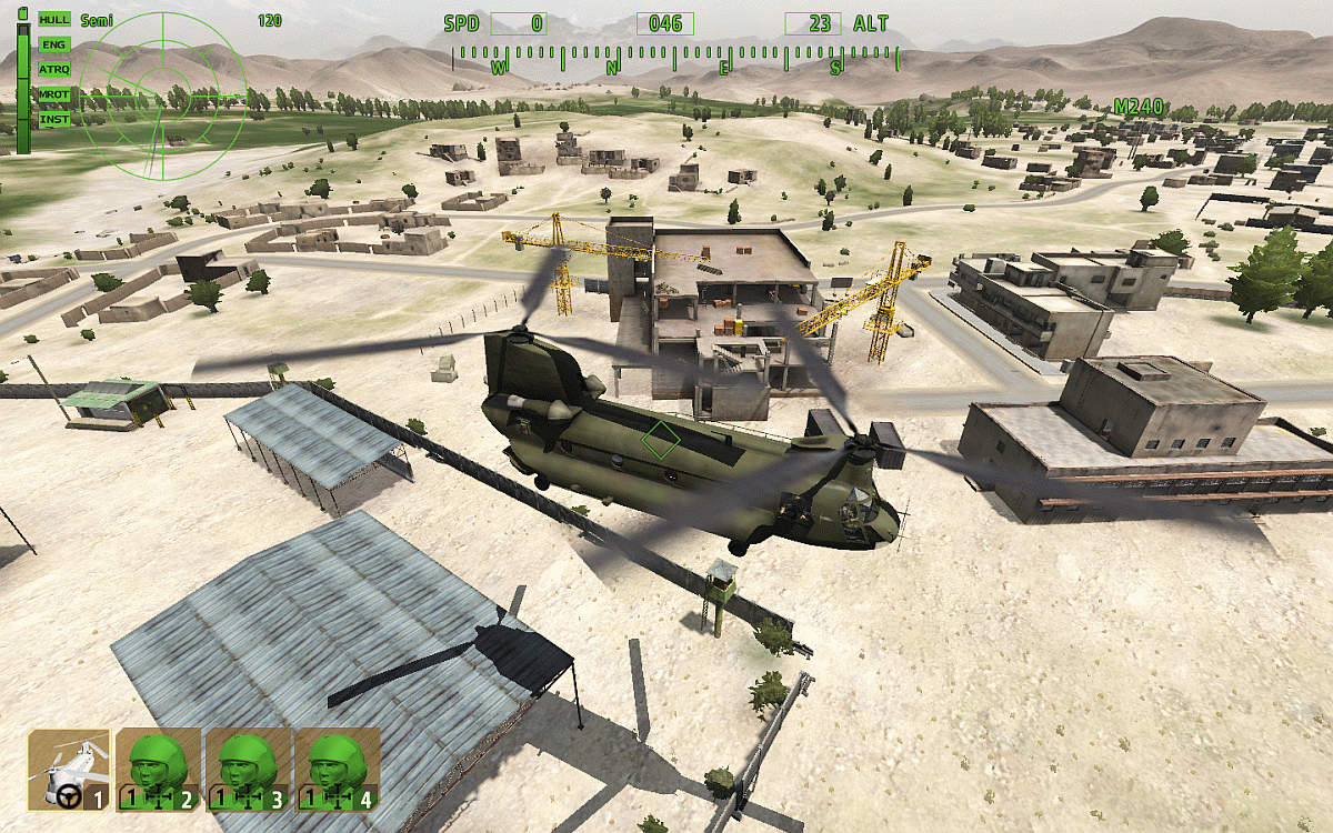
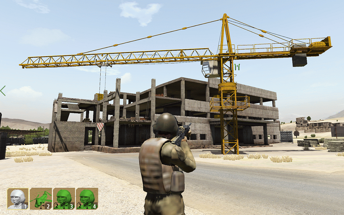
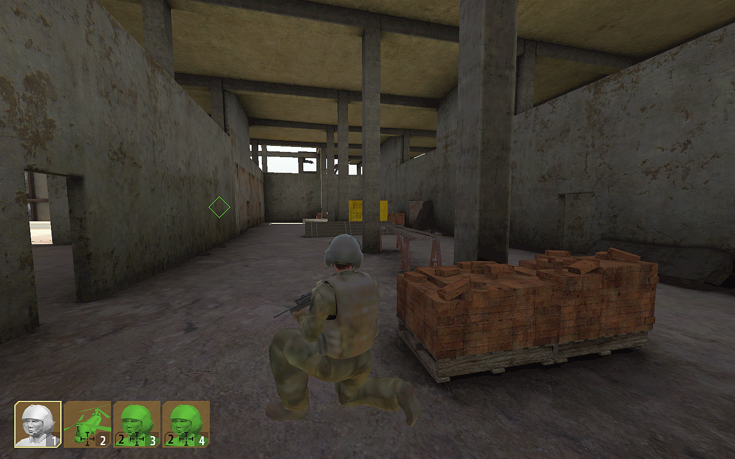
The Building Site
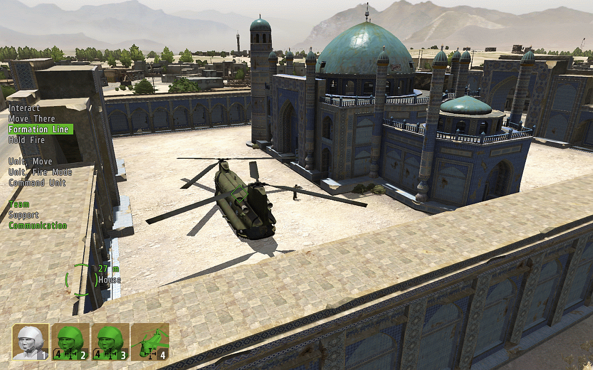
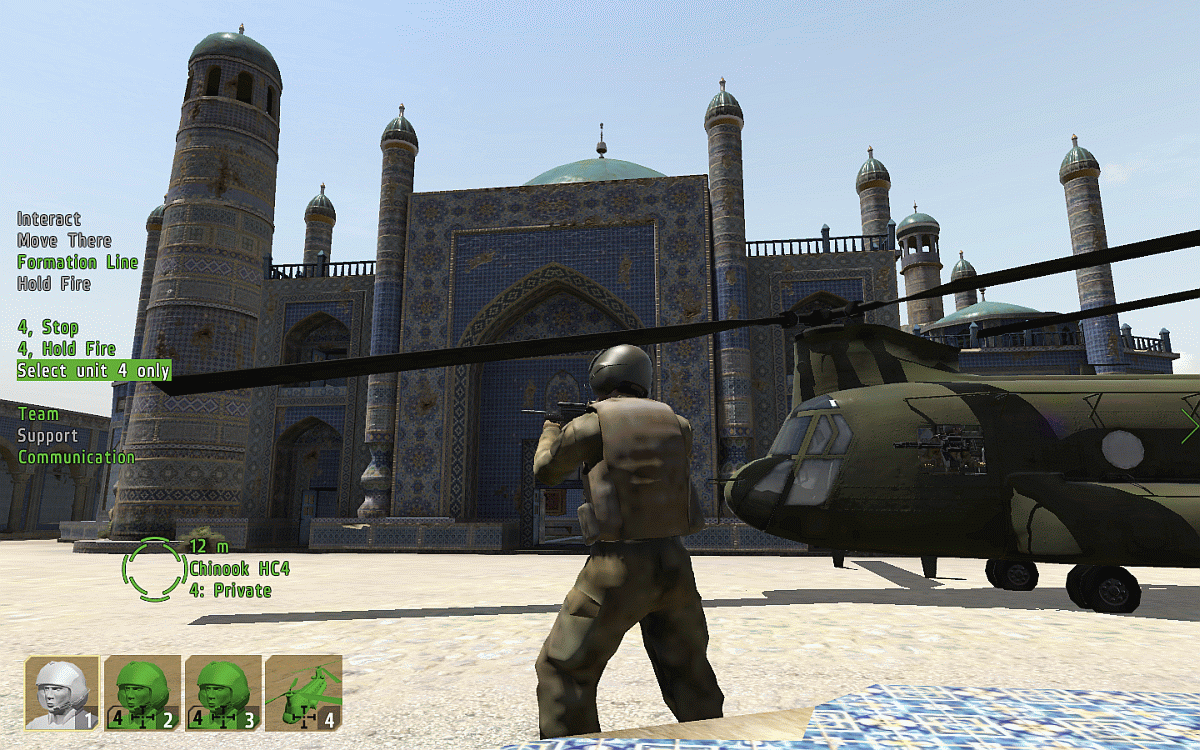
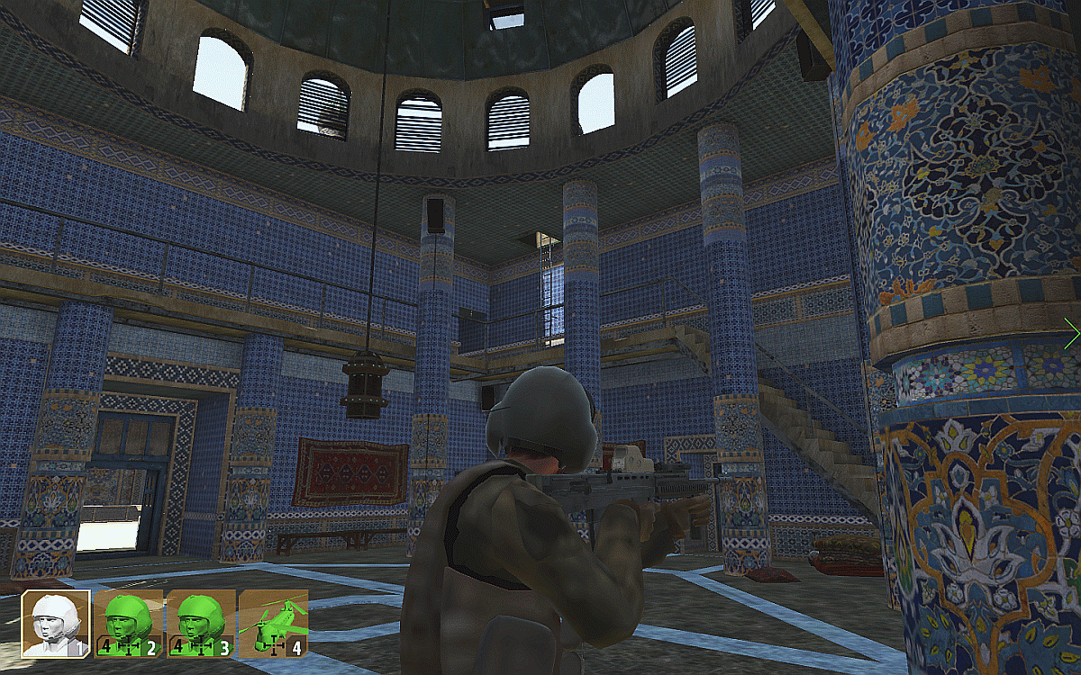
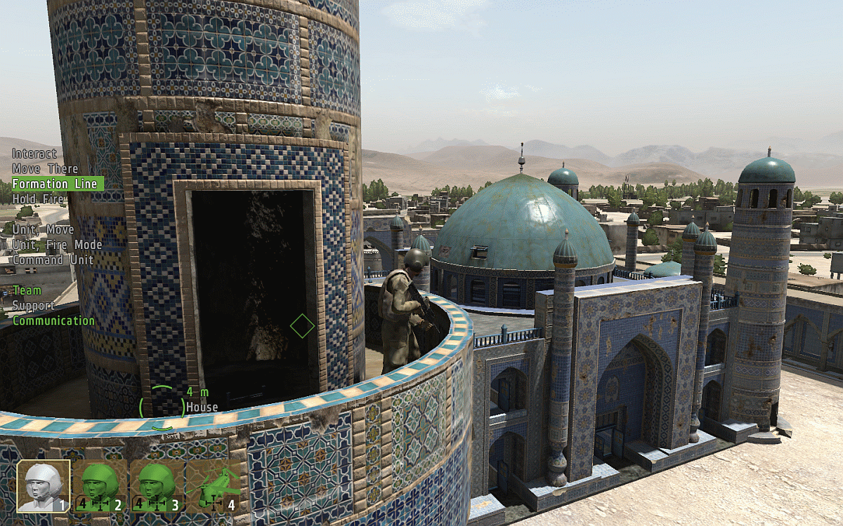
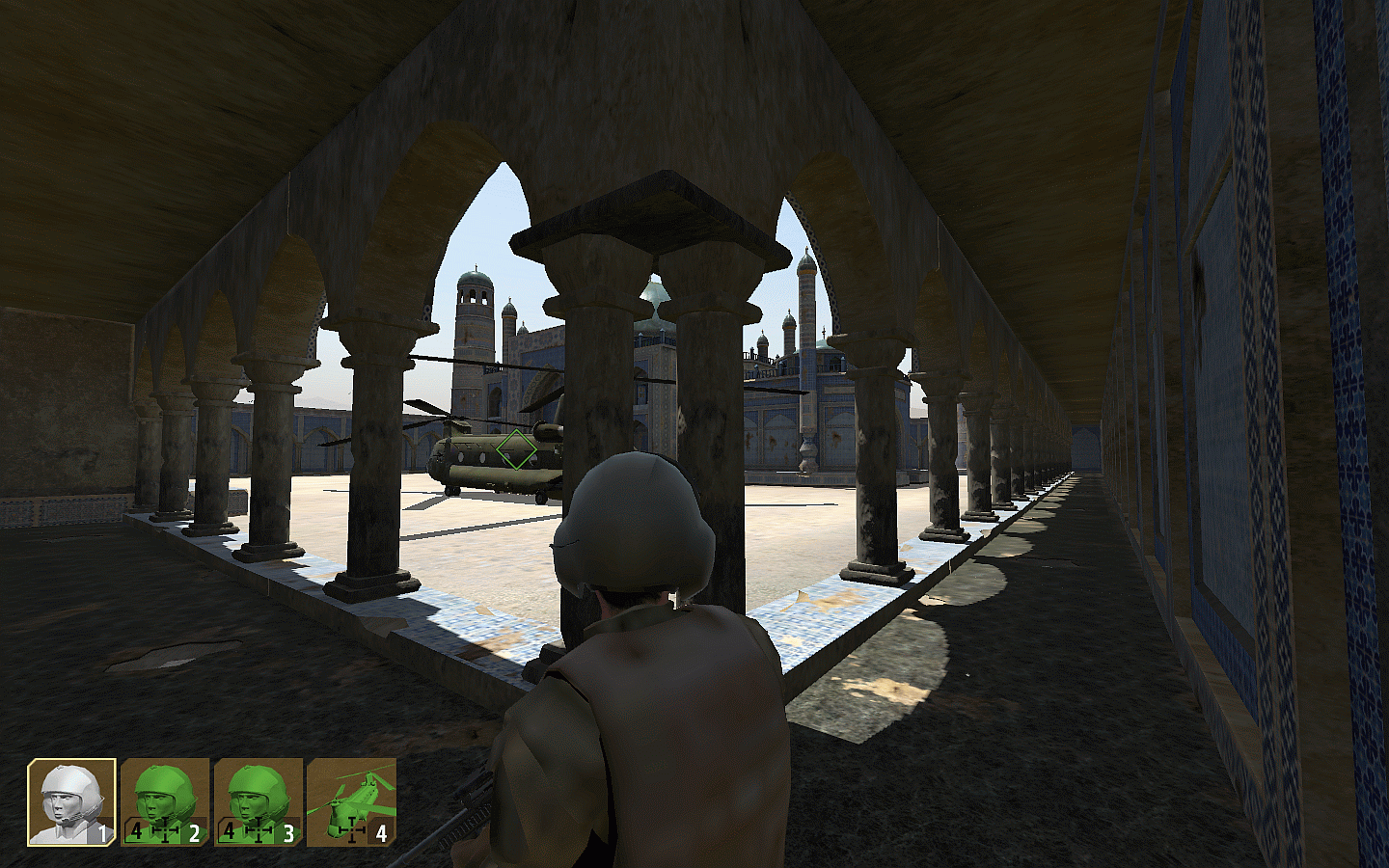
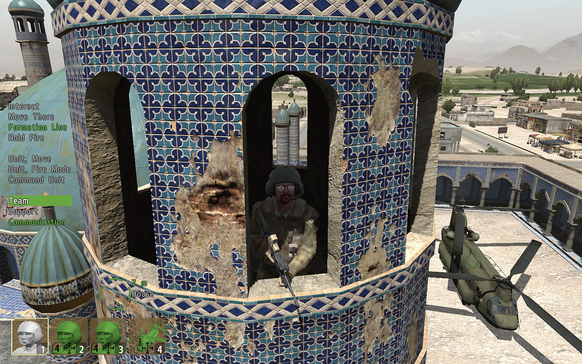
Zargabad Mosque
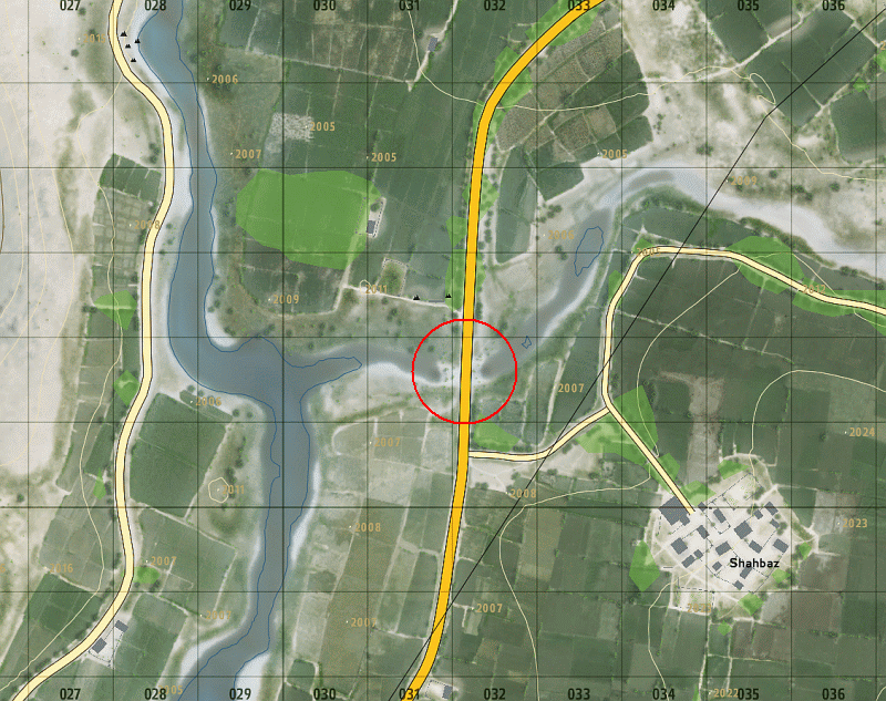
Shahbaz Bridge
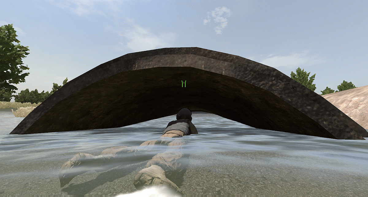
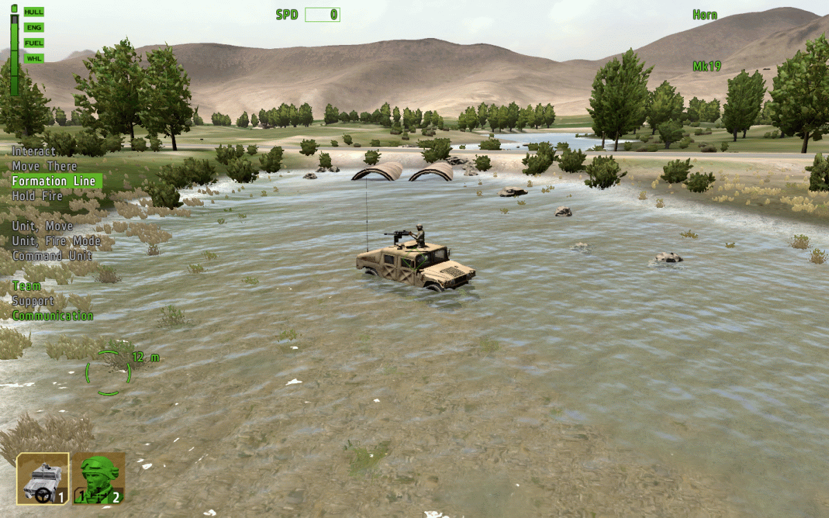
The Western River
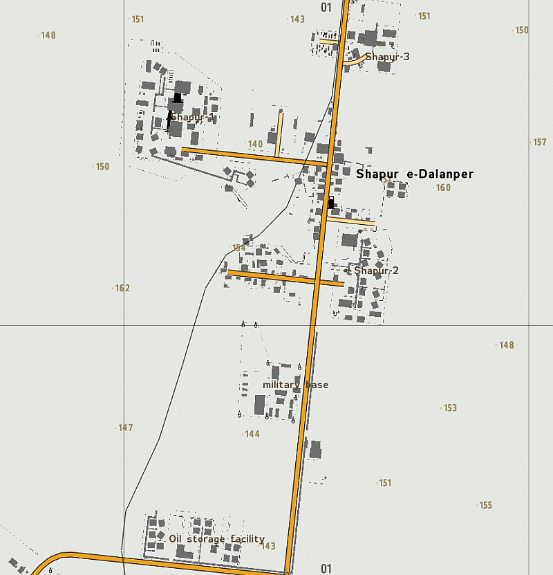
Arrowhead SHAPUR MAP
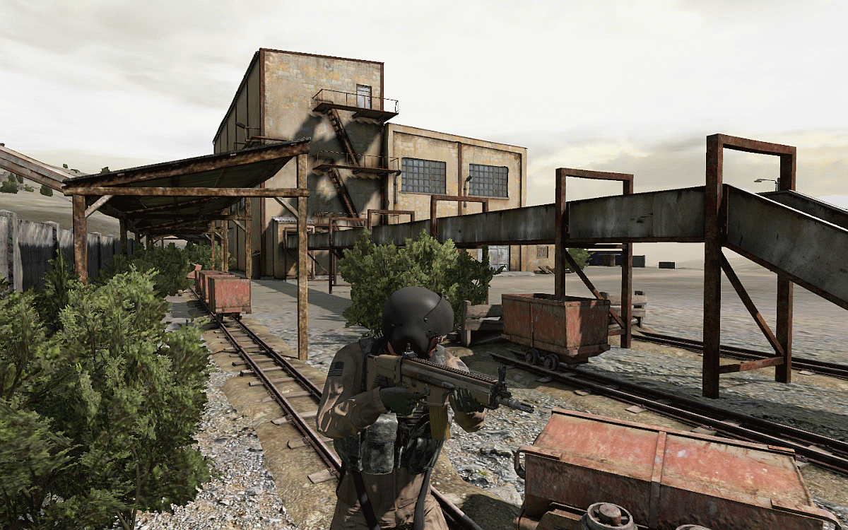
Shapur Industrial Complex
Arrowhead DESERT MAP
Overview
Arrowhead PROVING GROUNDS MAP
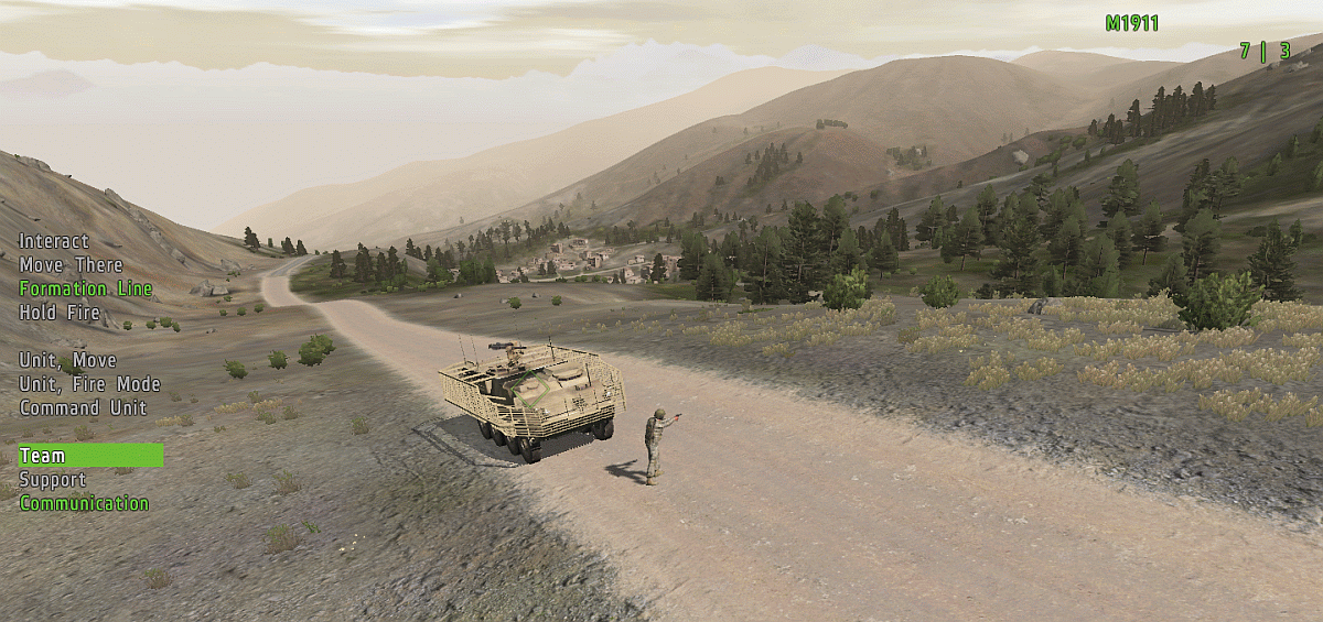
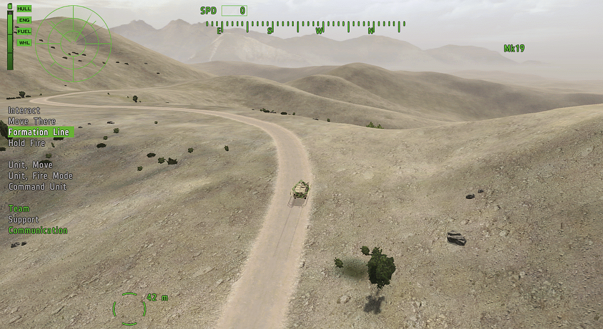
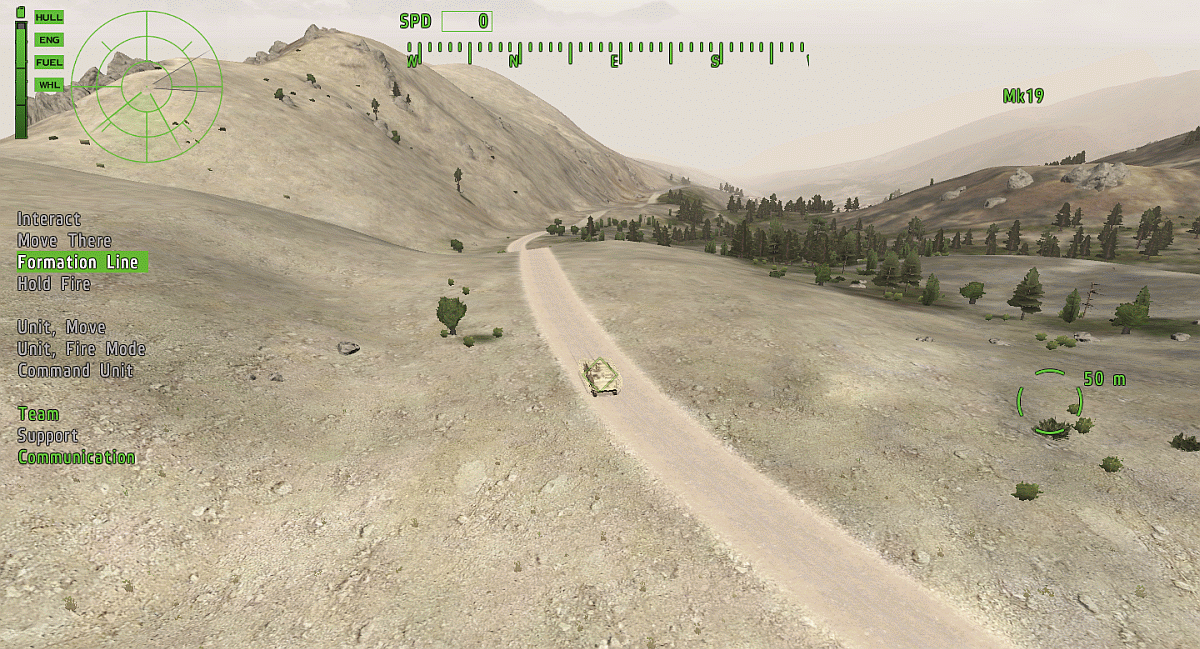
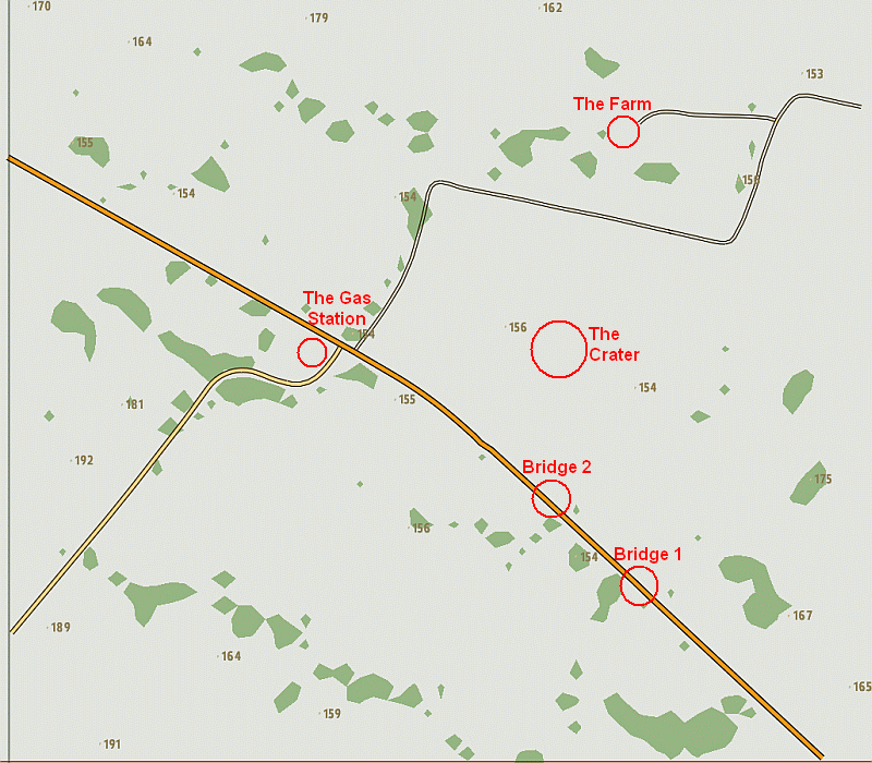
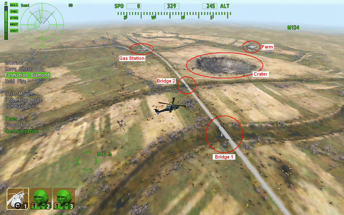
Bridge 1
The Crater
The Farm
The Gas Station
--------------------------------------------------------------------------------
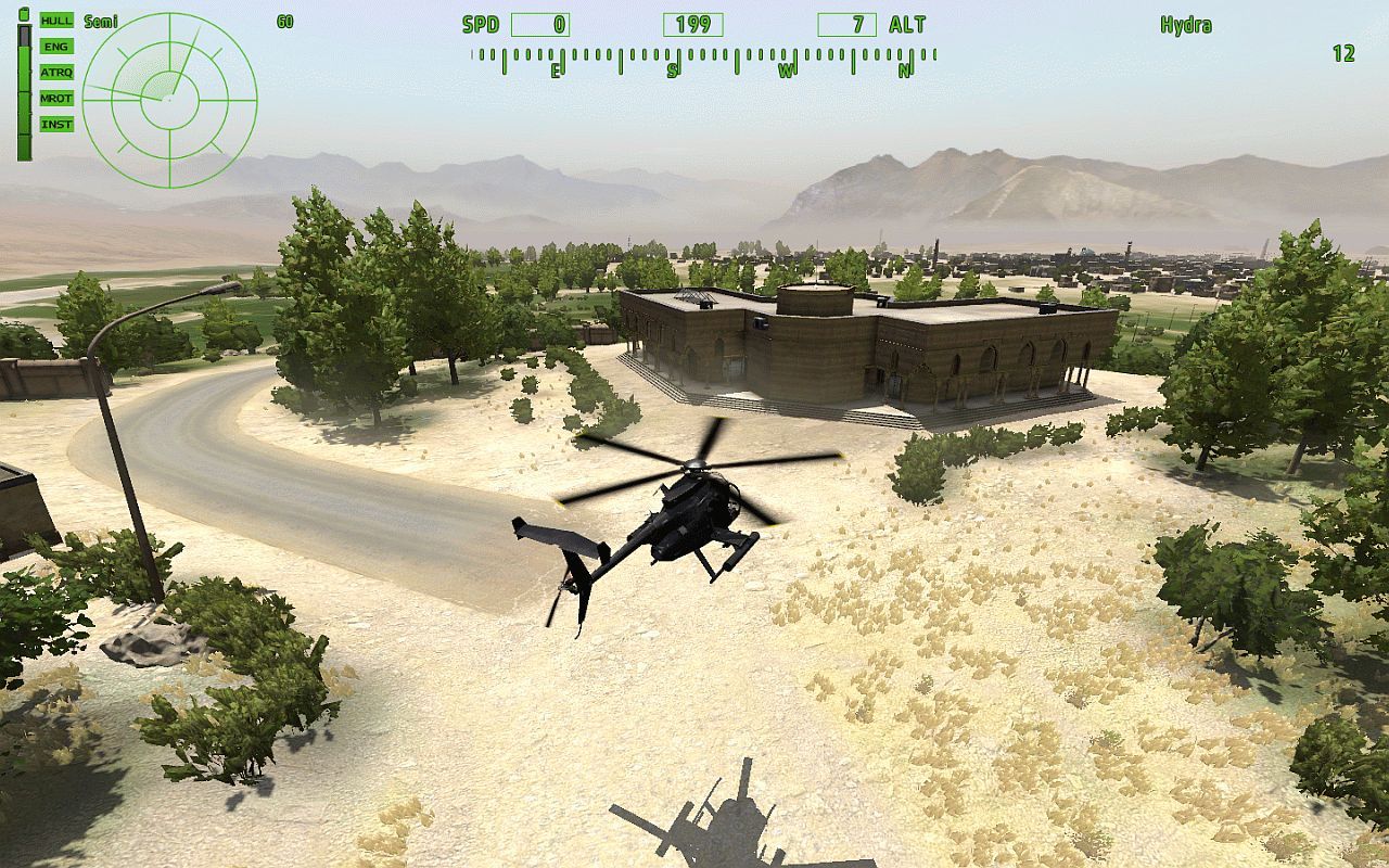
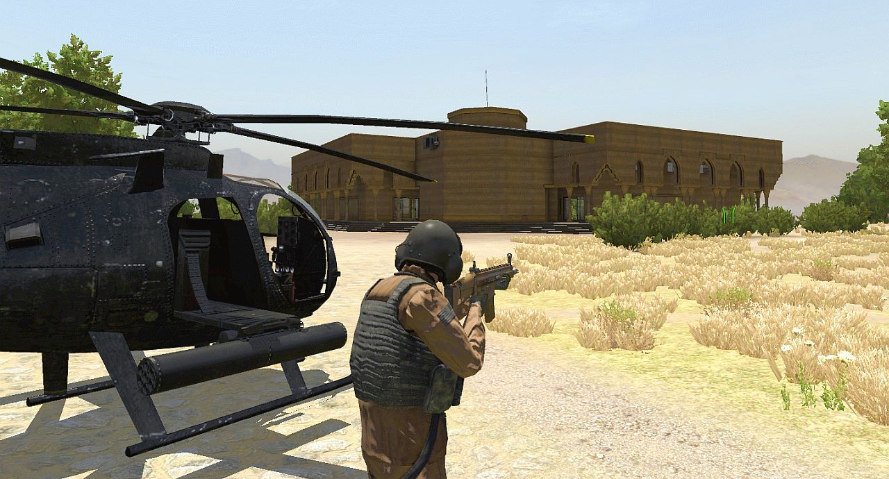
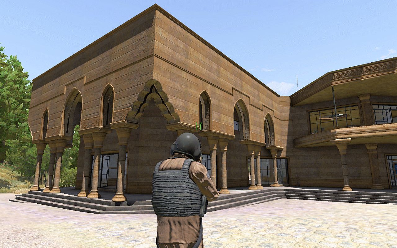
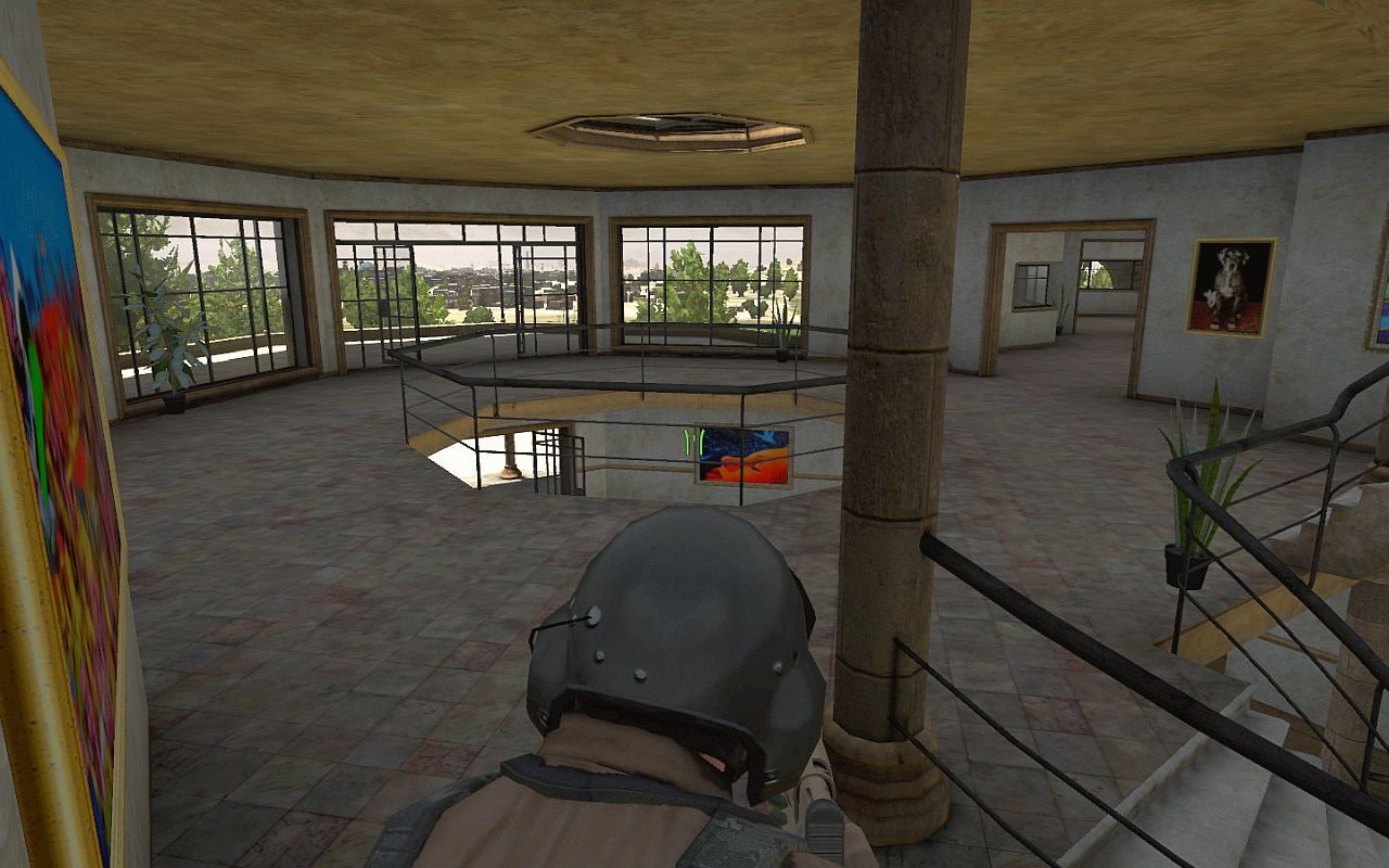
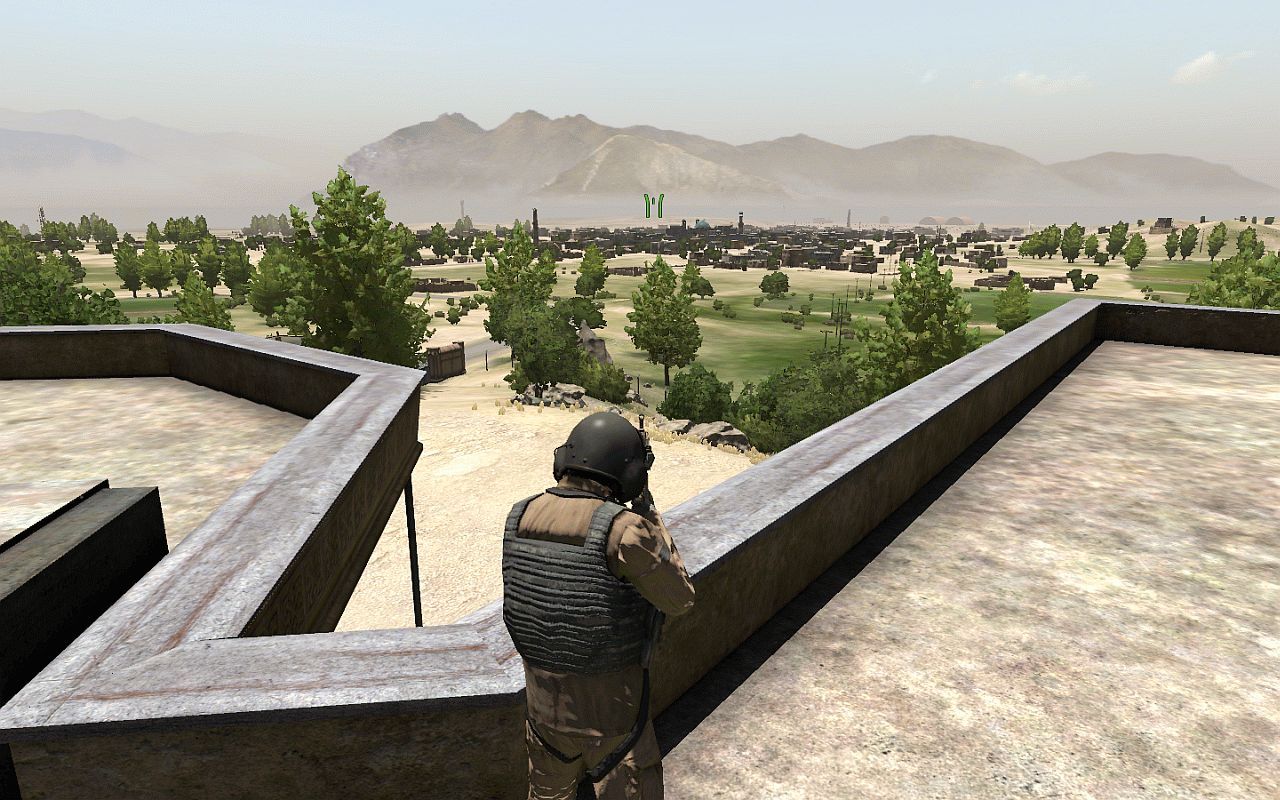
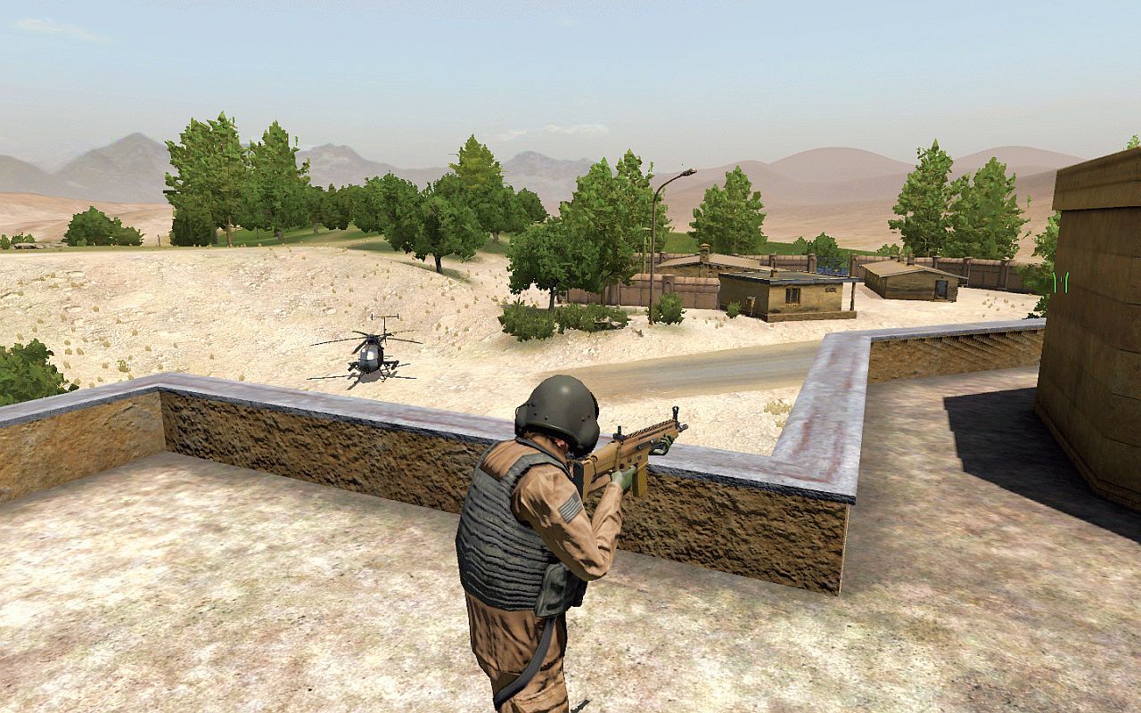
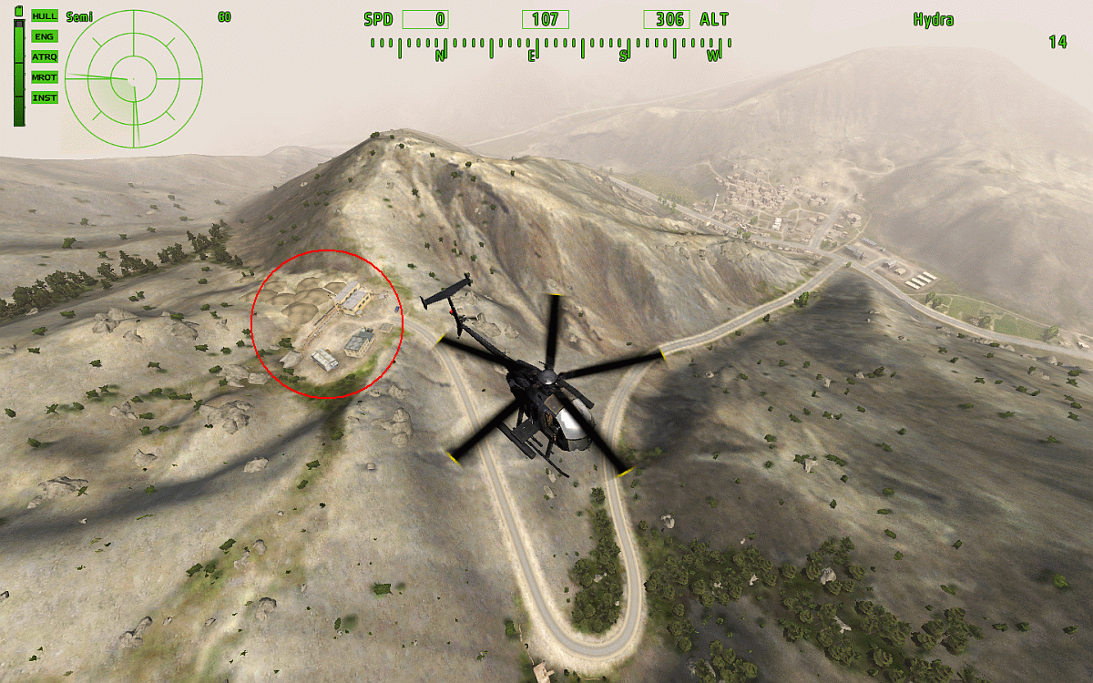
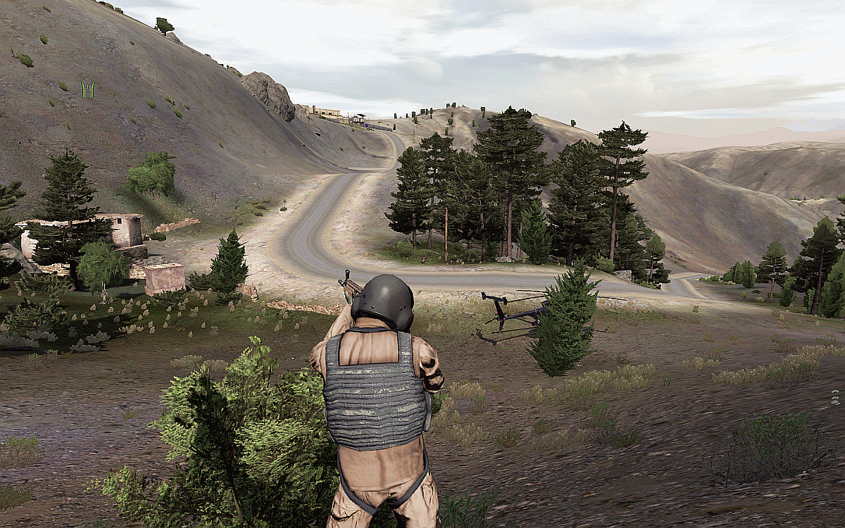
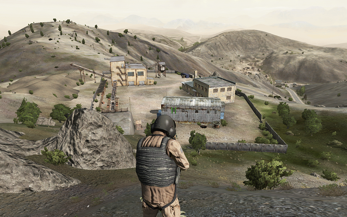
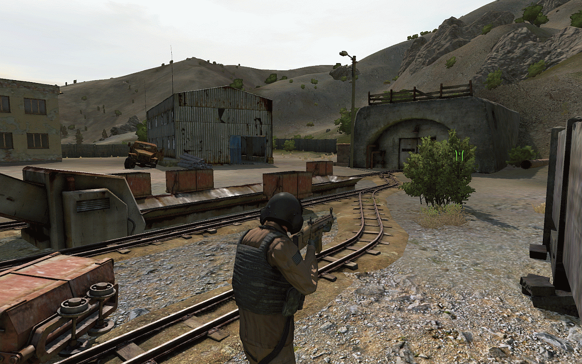
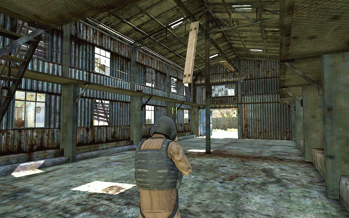
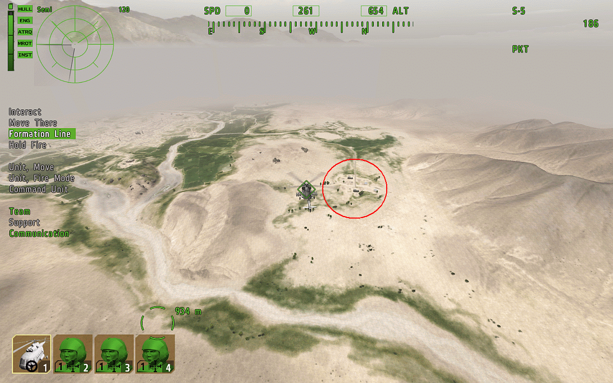
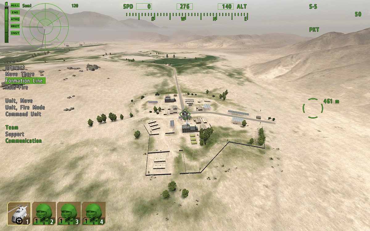
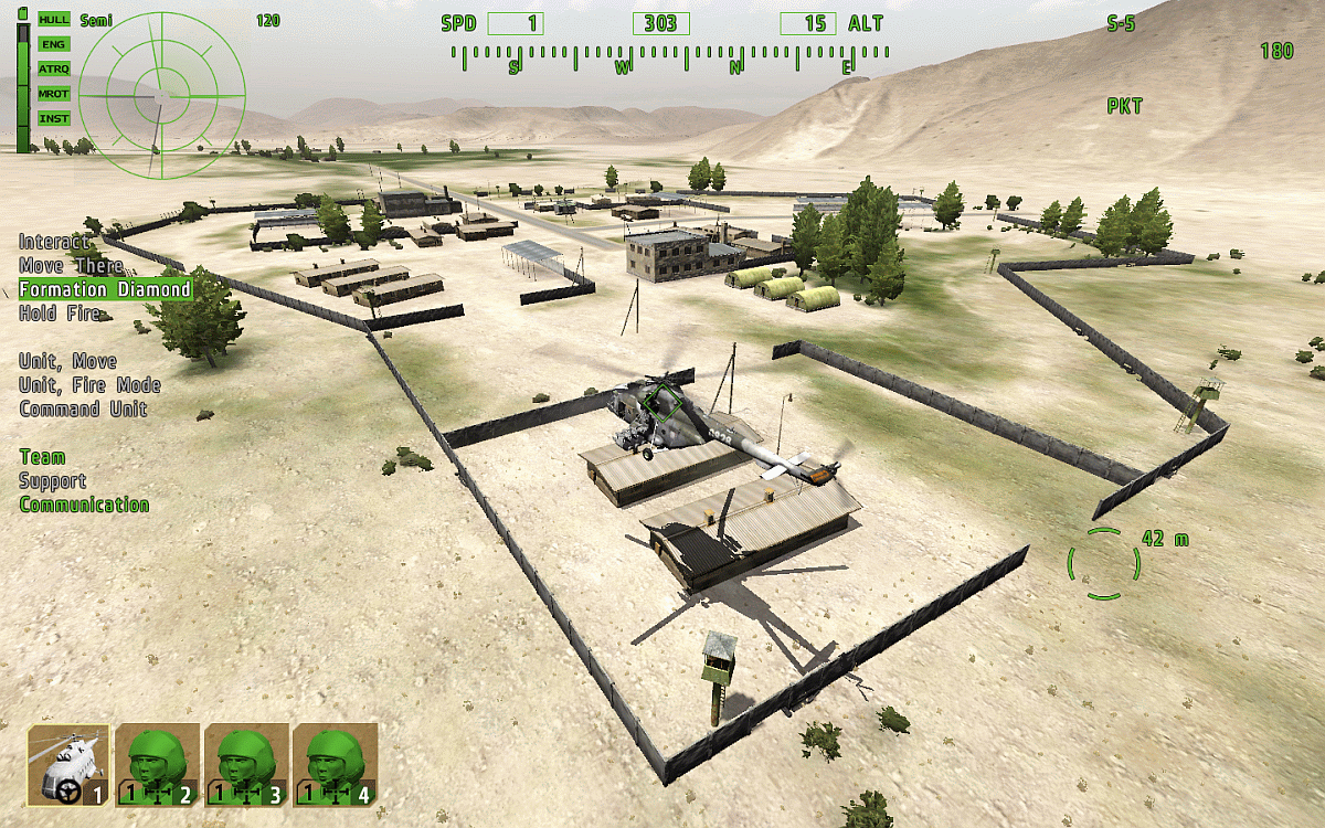
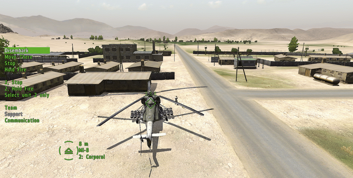
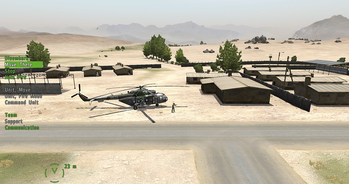
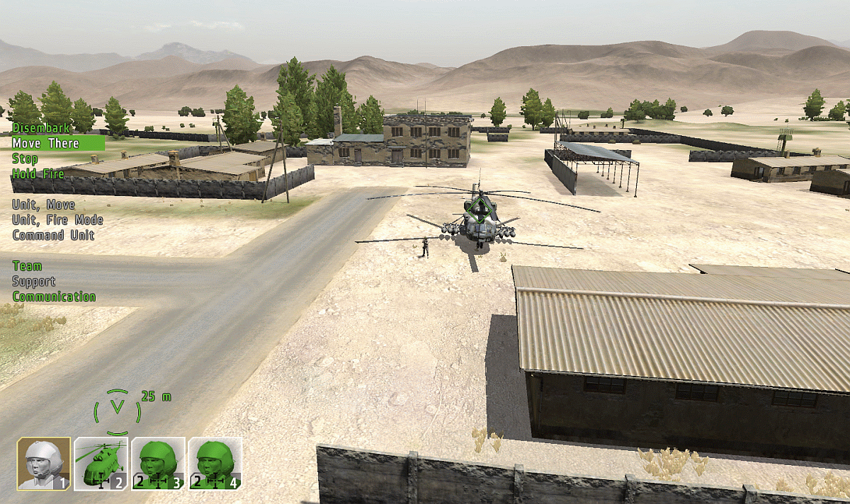
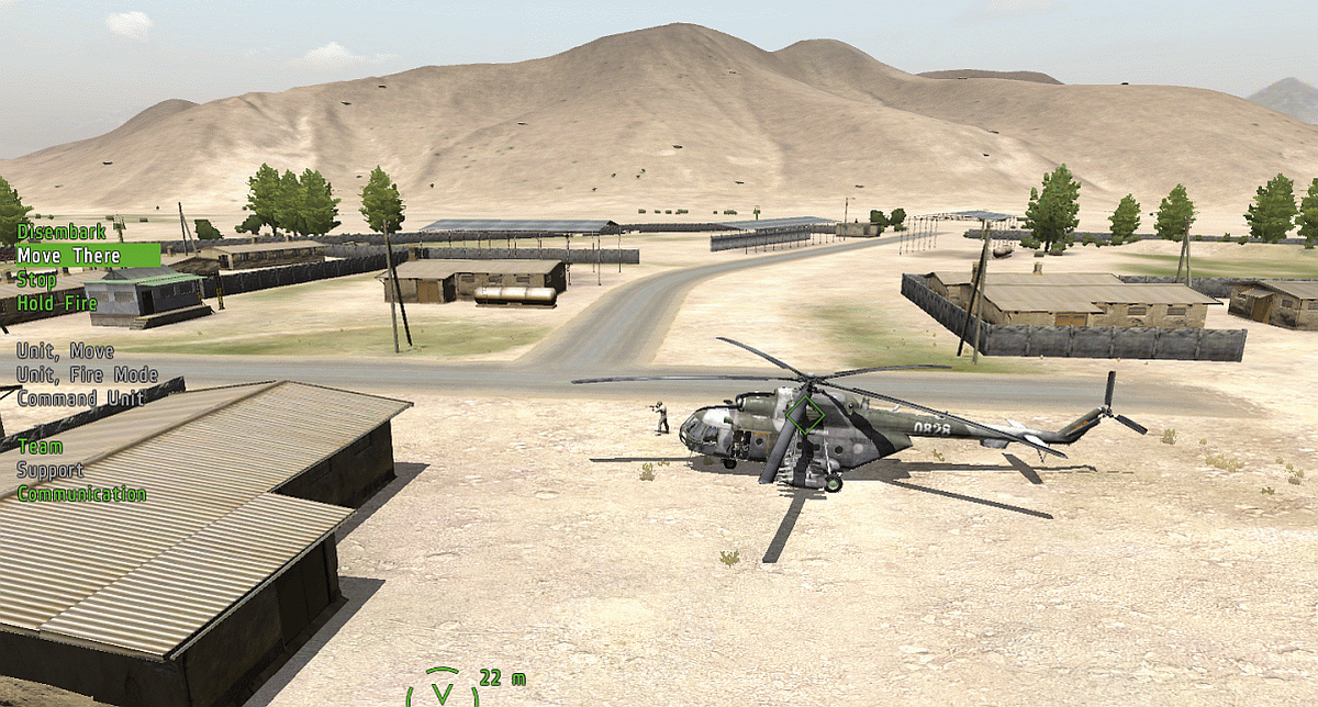
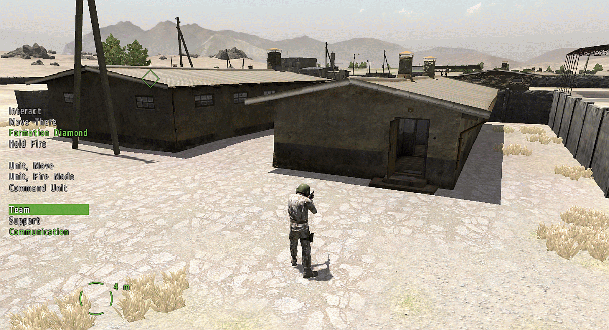
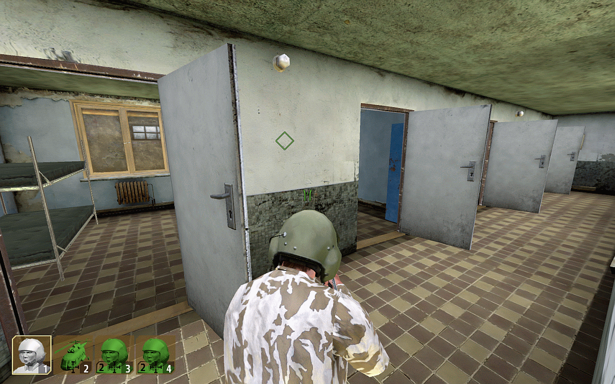
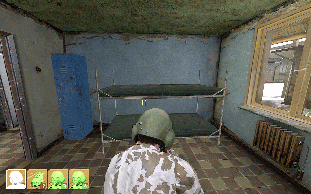
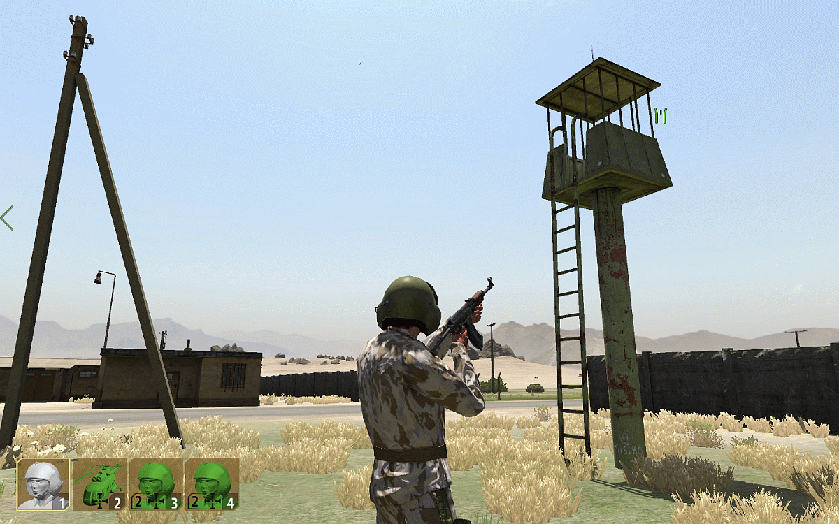
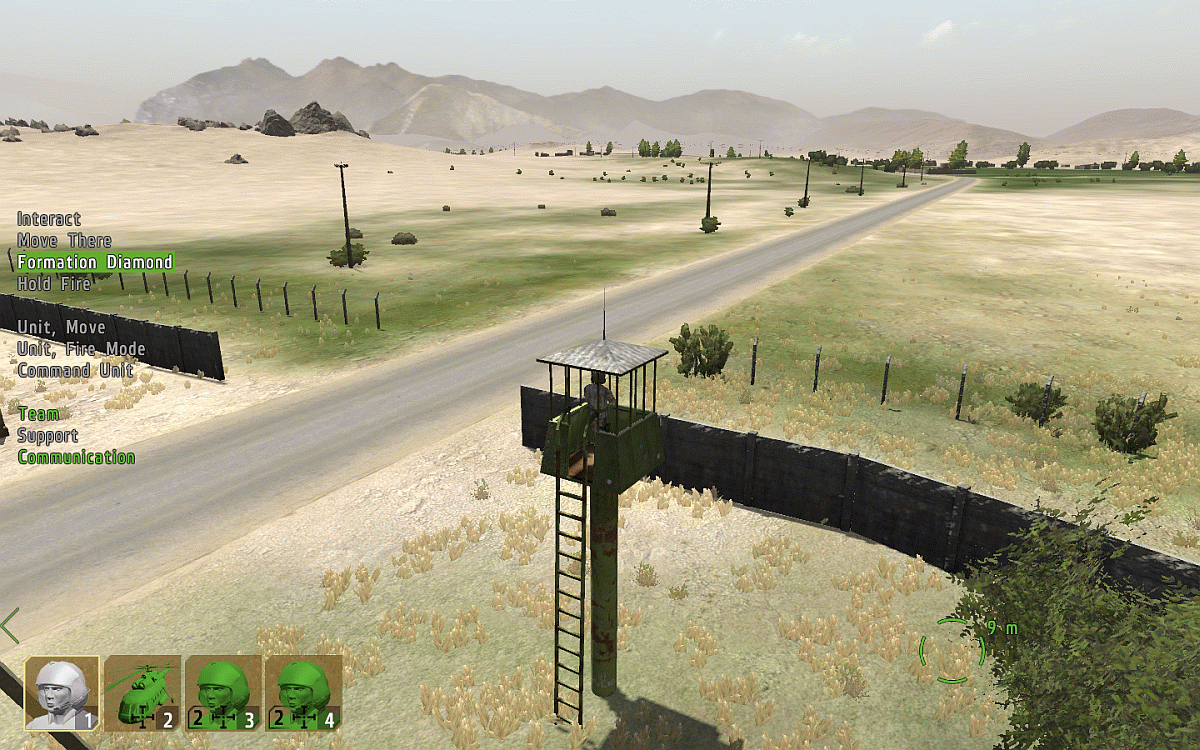
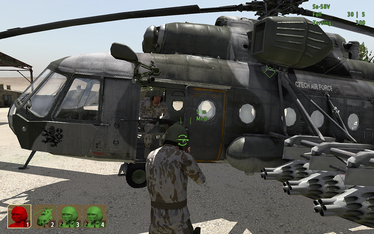
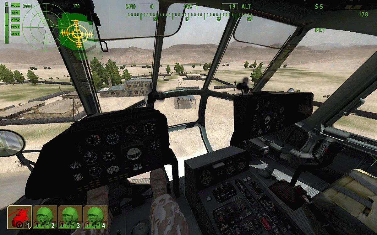
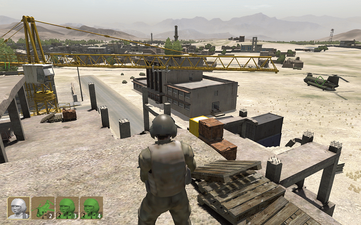
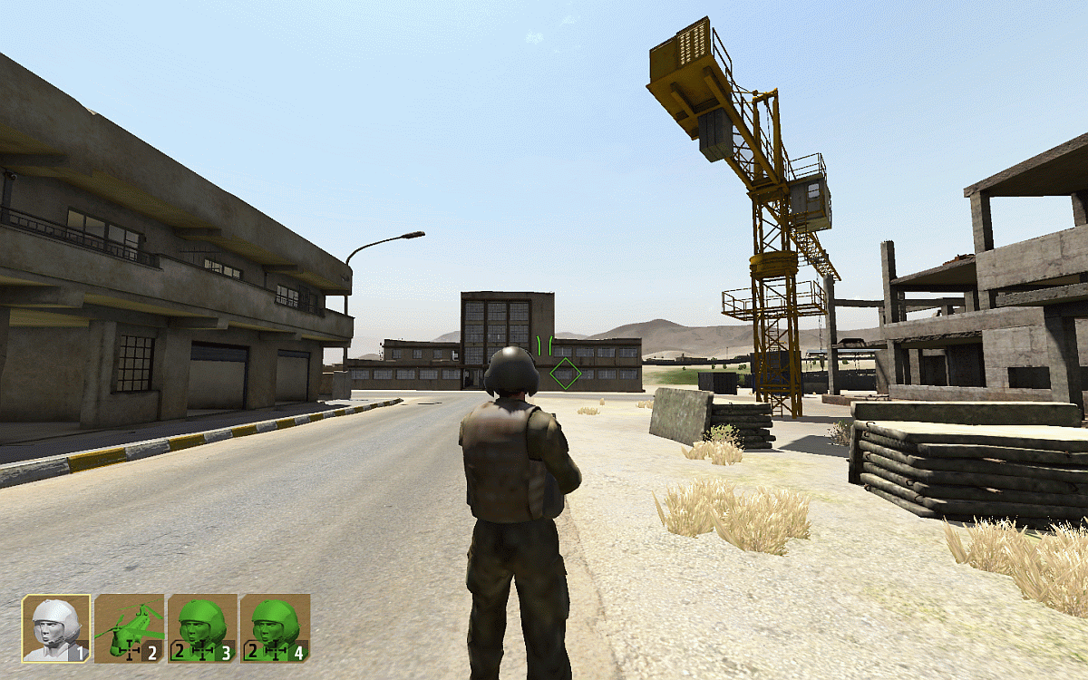
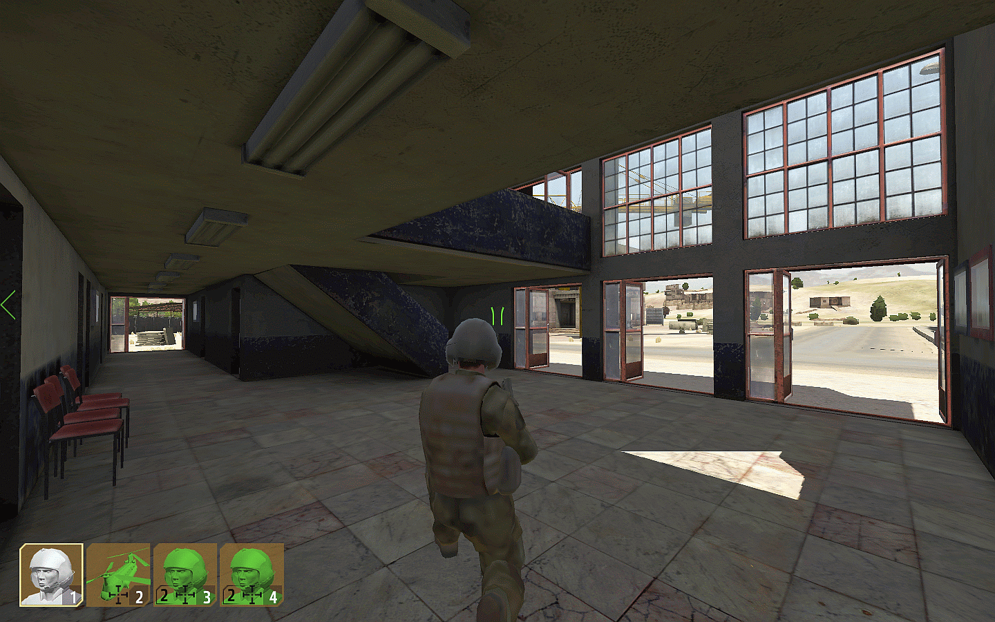
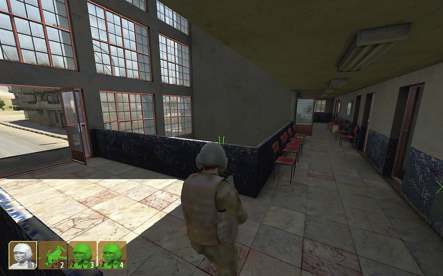
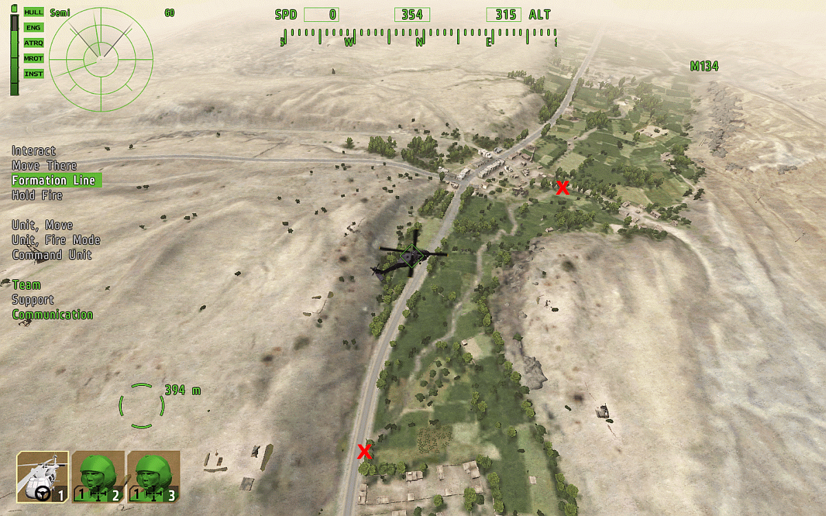
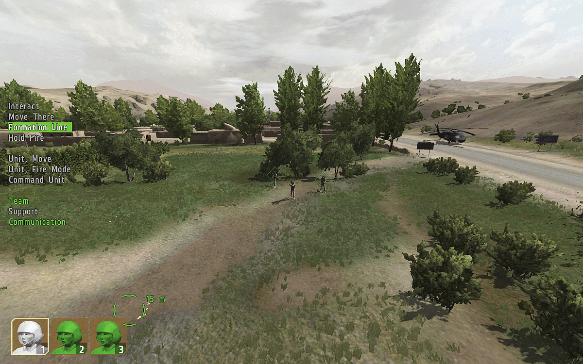
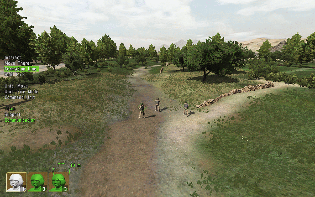
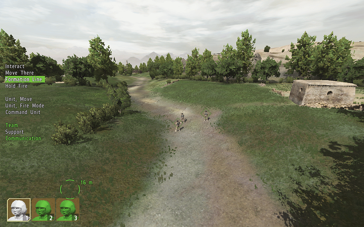
ARROWHEAD: (Zargabad map) The Villa photo recce.
It sits on top of a rocky crag surrounded on different sides by a wire fence, watchtowers, stone wall and a dry river bed, and would be a tough nut for any attacking force to crack
Overflying the Villa..
AA2 CHERNARUS MAP
Devil's Castle
Guba Inlet
Pobeda Dam
Kamenka Bridges
Electricity Relay Station
Vybor Plain
Green Mountain Radio Tower
The Factory
Veresnik Hill
AA2 UTES MAP
Coastwatch Station
Strelka Beach
The Boathouse
The Compound
The Cove
USS Khe Sanh
Arrowhead TAKISTAN MAP
Jilavur Choke Point
Nur Town
The Eagles Nest
Purple Heart Trail
Gur Dur Mountain
The Mine
Bala Pass
Badville
Arrowhead ZARGABAD MAP
The Villa
Ab-e Shur Dam
The Military Base
Zargabad City
The Building Site
Zargabad Mosque
Shahbaz Bridge
The Western River
Arrowhead SHAPUR MAP
Shapur Industrial Complex
Arrowhead DESERT MAP
Overview
Arrowhead PROVING GROUNDS MAP
Bridge 1
The Crater
The Farm
The Gas Station
--------------------------------------------------------------------------------
ARROWHEAD: (Zargabad map) The Villa photo recce.
It sits on top of a rocky crag surrounded on different sides by a wire fence, watchtowers, stone wall and a dry river bed, and would be a tough nut for any attacking force to crack
Overflying the Villa..