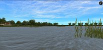
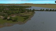
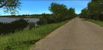
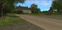
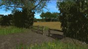
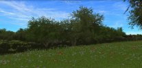
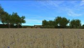
Amfreville Overhaul is a work in progress to complement my older scenario Lt. Col. Shanley on Hill 30. Both of these cover actions by elements of the U.S. 82nd airborne that were dropped west of the flooded Merderet River. The screen shots below highlight the beautiful effects of Lucky_Strike's Hedgerow Hell mod selectively applied for 'June' scenery. His thinned out tree foliage further enhances the pleasing effect. As is frequently the case for my maps, Falaise's 22.5 degree roads mod is a 'must' have. My reference for the elevation contours is at https://www.geoportail.gouv.fr/carte which provides 2.5 and 5 meter intervals. One meter intervals have been added for the streams and gullies which cut the terrain. These have been both estimated and gleaned from the one meter interval flood maps available at https://www.floodmap.net. The latter resource was also used to place the high water mark at the 3 meter line. So far four weeks of nearly full-time work to get to this point. A retirement obsession.




Last edited:


